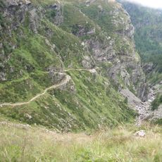
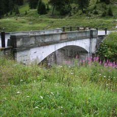
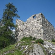
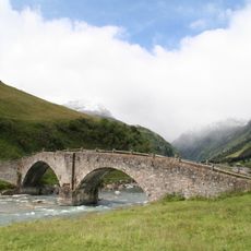
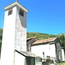
Pizzo Tambò, Alpine summit in Lepontine Alps, Switzerland
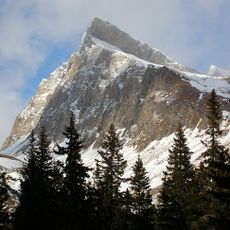
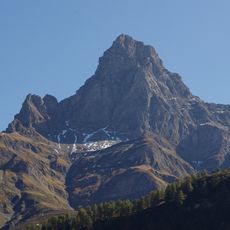
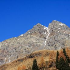
Pizzo Tambò reaches 3,279 meters and forms the eastern border of the Lepontine Alps. Three glaciers descend its slopes, shaping the mountain's appearance and structure.
The first documented ascent was made in July 1859 by Johann Jacob Weilenmann with a guide, via the easier eastern flank. The summit may have been reached earlier, but no record confirms it. The mountain is the highest of the Splügen valley, known as the "King of Valchiavenna".
The mountain sits where German and Italian language regions meet, and this is reflected in the different names people use for it. The location marks an important boundary in Switzerland's multilingual alpine landscape.
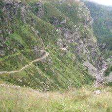
You can reach the summit from Montespluga or Splügen Pass using several different routes. The eastern ridge is the standard approach for climbers comfortable with exposed terrain.
The summit pyramid is built of metamorphic gneiss, mica schist and phyllite with vertical layering, and just below the top there is a small patch of dolomite. The north side holds the shrinking Tambogletscher and a lake fed by its meltwater.
The community of curious travelers
AroundUs brings together thousands of curated places, local tips, and hidden gems, enriched daily by 92,814 contributors worldwide.