Piz di Pian, Mountain summit in Grisons, Switzerland and Lombardy, Italy
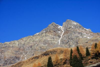
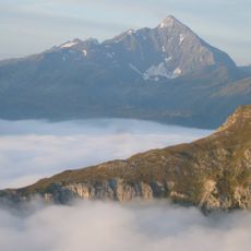
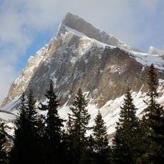
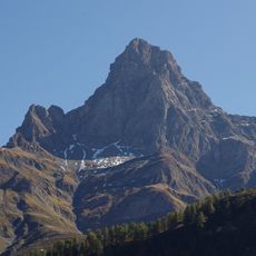
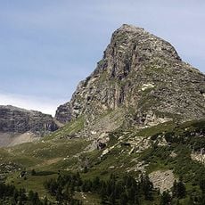
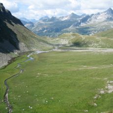
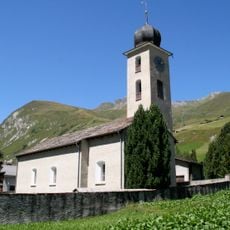
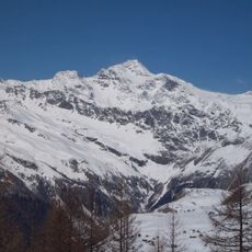
Piz di Pian rises to 3,158 meters and sits on the border between Switzerland and Italy in the Lepontine Alps. The mountain displays steep slopes and sedimentary rock formations that are typical of this mountain range.
The mountain has marked the natural boundary between Switzerland and Italy for centuries and shaped the development of transport routes through the Lepontine Alps. This geographic position made it an important reference point for both countries.
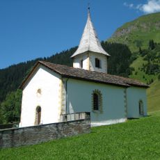
The mountain carries names that reflect the linguistic diversity of the region: known as Piz di Pian in Romansh and German, while the Italian side calls it Pizzo dei Piani. These different names show how people on both sides of the border describe the same place in their own words.
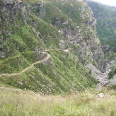
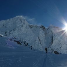
Multiple hiking trails lead to the summit, with access points from both the Swiss and Italian sides, but both routes require proper mountaineering equipment. It is important to check weather conditions before setting out.
The summit serves as a reference point for topographic measurements, with a prominence of 237 meters that allows it to be seen from distant observation points in both countries. This visibility makes it a valued orientation marker for surveys and navigation across the Alps.
The community of curious travelers
AroundUs brings together thousands of curated places, local tips, and hidden gems, enriched daily by 60,000 contributors worldwide.