
Bretonnières, municipality in Switzerland
Location: Jura-Nord vaudois District
Elevation above the sea: 681 m
Website: http://1329.ch
GPS coordinates: 46.71667,6.46667
Latest update: March 9, 2025 18:41
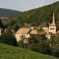
Romainmôtier church
2.6 km
Fort de Pré-Giroud
4.4 km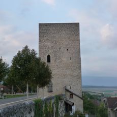
Orbe Castle
5.1 km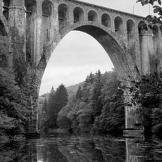
Le Day Viaduct
5.4 km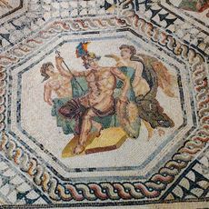
Orbe-Boscéaz
6.2 km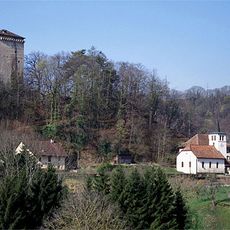
Les Clées castle ruins
1.6 km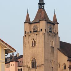
Reformed Church of Notre-Dame, Orbe
5.1 km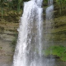
Cascade du Dard
3.9 km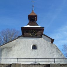
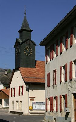
Église réformée Saint-Étienne de Montcherand
3.8 km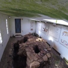
Iron age and early medieval ironworks
5 km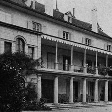
Château de Valeyres
6 km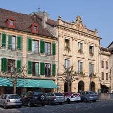
Hôtel de ville d'Orbe
5 km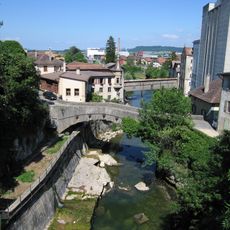
Pont du Moulinet
5 km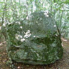
Pierre des Gottettes
3.6 km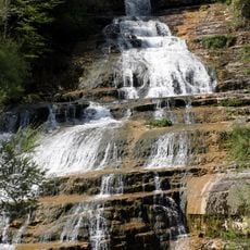
Saut du Day
4.5 km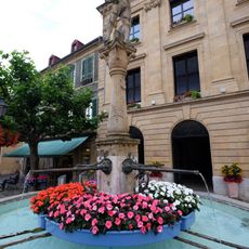
Fontaine du Banneret, Orbe VD
5.1 km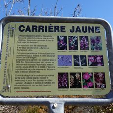
Yellow Quarry
5.5 km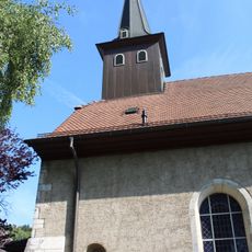
Temple de Ballaigues
4.2 km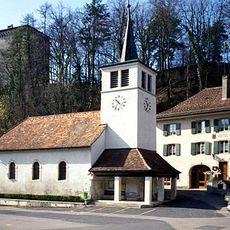
Église des Clées
1.7 km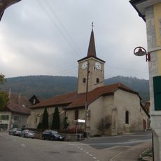
Église de Lignerolle
2.7 km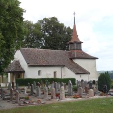
Eglise de Valeyres-sous-Rances
5.6 km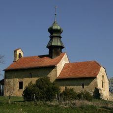
Reformed church
828 m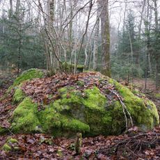
Bois de Chassagne, cup marked stones of unknown period of time
3.3 km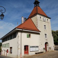
Ancienne dîme
5.8 km
Grand-Rue 16, Orbe VD
5.1 km
Hôtel des Deux-Poissons
5 km
Manoir de Mont-Choisi avec rural
5.1 km
Le Prieuré et ses dépendances
5.1 kmVisited this place? Tap the stars to rate it and share your experience / photos with the community! Try now! You can cancel it anytime.
Discover hidden gems everywhere you go!
From secret cafés to breathtaking viewpoints, skip the crowded tourist spots and find places that match your style. Our app makes it easy with voice search, smart filtering, route optimization, and insider tips from travelers worldwide. Download now for the complete mobile experience.

A unique approach to discovering new places❞
— Le Figaro
All the places worth exploring❞
— France Info
A tailor-made excursion in just a few clicks❞
— 20 Minutes