
Rossa, municipality in Graubünden, Switzerland
Location: Moesa Region
Elevation above the sea: 1,089 m
Shares border with: Biasca, Cauco, Serravalle, Soazza, Mesocco
Website: https://rossa.ch
GPS coordinates: 46.36639,9.13306
Latest update: March 8, 2025 13:13
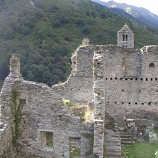
Mesocco Castle
7.8 km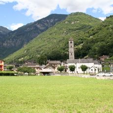
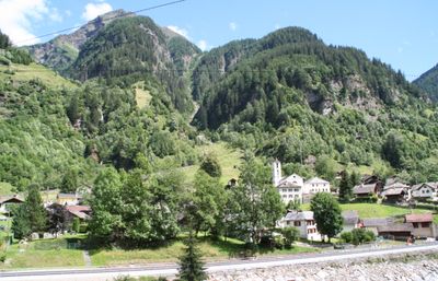
Malvaglia
10.4 km
Vogelberg
13.5 km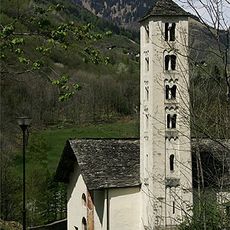
Santa Maria del Castello in Mesocco
7.8 km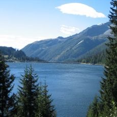
Lago d'Isola
10.3 km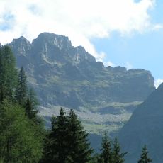
Torent Alto
5.4 km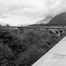
Cascella bridge
9.1 km
Bacino di Val Malvaglia
10.7 km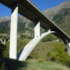
Nanin Bridge
9.1 km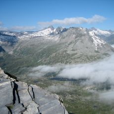
Zapporthorn
12.7 km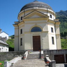
San Bernardino church
11.7 km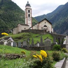
Catholic parish church of St. Martin, ossuary and oratory of St. Mary Addolorata
7 km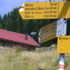
Rifugio Domàs
8.2 km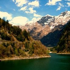
Cima Rossa
9.3 km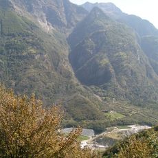
Pizzo Magn
9.6 km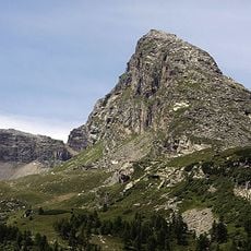
Piz de Mucia
11.1 km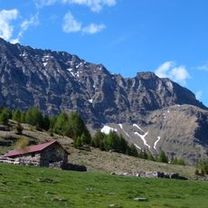
Pizzo del Ramulazz
4.7 km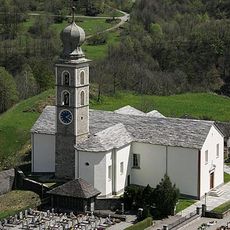
SS. Pietro e Paolo, Mesocco
8.1 km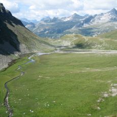
Piz Pian Grand
6 km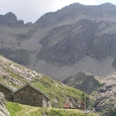
Pizzo di Campedell
7 km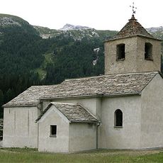
San Bernardino chapel
11.7 km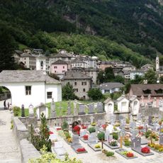
Chiesa cattolica San Rocco
6.9 km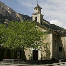
San Rocco, Mesocco
8.4 km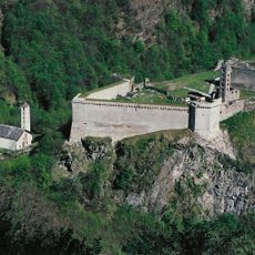
Chiesa di San Carpoforo
7.8 km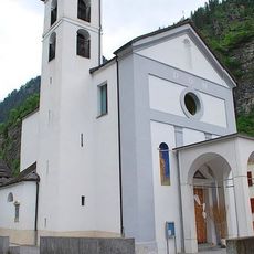
Chiesa dei Santi Giuseppe a Antonio da Padova
531 m
San Bernardino
11.6 km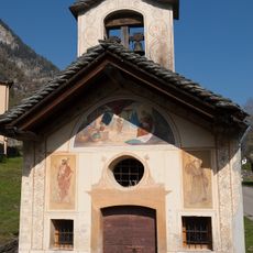
Cappella Madonna di Loreto, Cauco
4.1 km
Pizzo Nass
13.1 kmVisited this place? Tap the stars to rate it and share your experience / photos with the community! Try now! You can cancel it anytime.
Discover hidden gems everywhere you go!
From secret cafés to breathtaking viewpoints, skip the crowded tourist spots and find places that match your style. Our app makes it easy with voice search, smart filtering, route optimization, and insider tips from travelers worldwide. Download now for the complete mobile experience.

A unique approach to discovering new places❞
— Le Figaro
All the places worth exploring❞
— France Info
A tailor-made excursion in just a few clicks❞
— 20 Minutes