
Subingen, municipality in the canton of Solothurn in Switzerland
Location: Wasseramt District
Elevation above the sea: 440 m
Website: https://subingen.ch
GPS coordinates: 47.19667,7.61528
Latest update: May 11, 2025 18:56
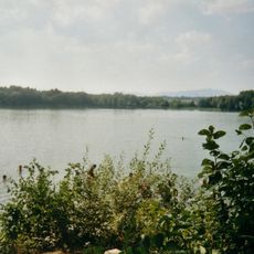
Lake Burgäschi
5 km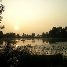
Lake Inkwil, Paleolithic open-air station / Neolithic and Bronze Age lakeside settlement
3.5 km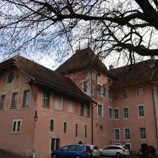
Wangen an der Aare Castle
5.3 km
Local museum in the tower house
3.3 km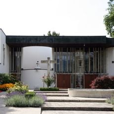
St. Christophorus roman catholic church
4.8 km
Dittiberg
2.7 km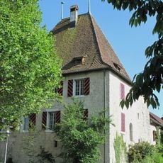
Former defense tower (rectory)
5.3 km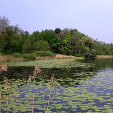
Aeschi SO–Burgäschisee Ost
5.3 km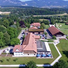
Golfclub Wylihof
3.5 km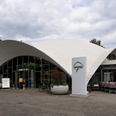
Wyss garden center
4 km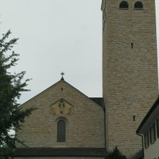
Sacred Heart parish church
2.2 km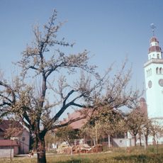
St. Anna catholic church
3.8 km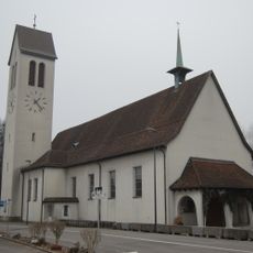
St. Joseph parish church
2.9 km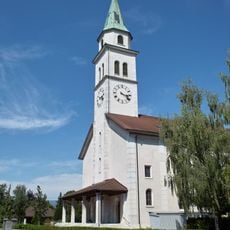
St. Mauritius parish church
2.6 km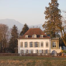
Former country estate Hinter-Bleichenberg with park
3.8 km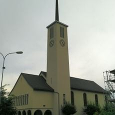
Reformed church
2.2 km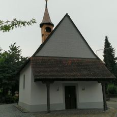
All Saints' Chapel 1724
2.4 km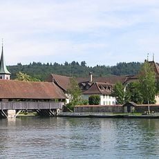
Wood bridge, Aare bridge
5.4 km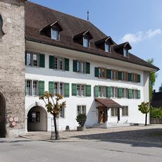
Town hall
5.3 km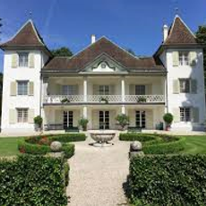
Emmenholz Castle
4.3 km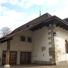
Salt house
5.4 km
Elsässli workers' housing estate
2.5 km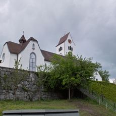
Parish church of St. Peter and Paul
4.6 km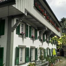
Gomerkinger House
2.3 km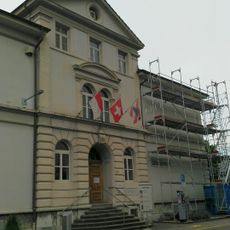
Old school house
2.2 km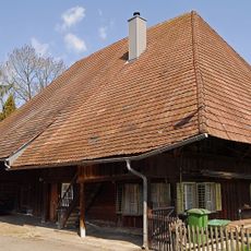
Aebi House
2.3 km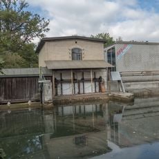
Power station at the Emmen canal
3.6 km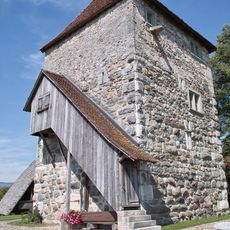
Residential tower with ensemble of small rural buildings
3.3 kmReviews
Visited this place? Tap the stars to rate it and share your experience / photos with the community! Try now! You can cancel it anytime.
Discover hidden gems everywhere you go!
From secret cafés to breathtaking viewpoints, skip the crowded tourist spots and find places that match your style. Our app makes it easy with voice search, smart filtering, route optimization, and insider tips from travelers worldwide. Download now for the complete mobile experience.

A unique approach to discovering new places❞
— Le Figaro
All the places worth exploring❞
— France Info
A tailor-made excursion in just a few clicks❞
— 20 Minutes