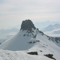
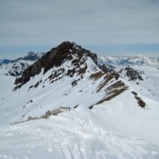
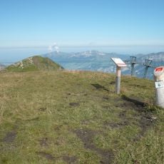
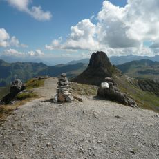
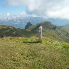
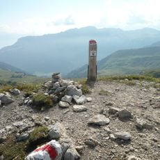
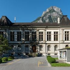
Bützistock, Mountain peak in Glarus Alps, Switzerland.
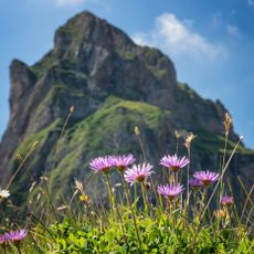
Bützistock is a mountain peak in the Glarus Alps that marks the boundary between the cantons of Glarus and St. Gallen in eastern Switzerland. The summit sits high above surrounding valleys and pastures, with exposed rock formations rising from dense forest on lower slopes.
The Bützistock lies on the border between the cantons of Glarus and St. Gallen, within the Glarus Alps, and forms part of the larger Magerein massif. Its summit reaches 2,496 metres, with a prominence of 261 metres above the surrounding terrain. The nearest settlement is Engi, on the southern side, while Piz Sardona, the highest point nearby at 3,056 metres, stands 13 kilometres to the south.
The name Bützistock appears on maps of the Glarus Alps alongside the neighbouring Piz Sardona, the highest point of the area at 3,056 m. The closest settlement is Engi, on the southern side, from where the mountain is usually approached. The slopes around the summit are grassland, in a sparsely populated area of about 38 inhabitants per square kilometre.
The mountain is best reached from the village of Engi through established hiking trails with varying levels of difficulty. Summer and early fall offer the most favorable conditions with less snow coverage, though weather in the Alps changes quickly and requires good preparation.
The Bützistock lies on the border between Glarus and St. Gallen, and its summit stands 2,496 metres above sea level, or 513 metres above the surrounding terrain. The base spans 18 kilometres, and the nearest locality is Engi to the south. The highest nearby peak is Piz Sardona, 13 kilometres south.
The community of curious travelers
AroundUs brings together thousands of curated places, local tips, and hidden gems, enriched daily by 93,697 contributors worldwide.