Spitzmeilen, Mountain summit in the Glarus Alps, Switzerland
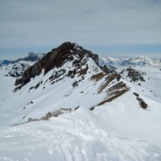
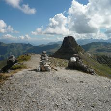
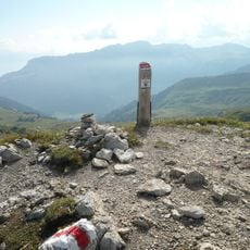
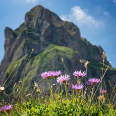
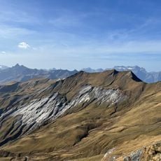
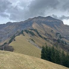
Spitzmeilen is a 2,501-metre summit in the Glarus Alps on the border between the cantons of Glarus and St. Gallen, between the Schilstal and Sernftal valleys. Its summit is a steep rock tooth of brown Liassic limestone rising from the slopes below, which makes it visible from far away.
The summit is made of brown Liassic limestone (Liaskalk), not Verrucano. The Spitzmeilen lies at the northern edge of the UNESCO World Natural Heritage Tectonic Arena Sardona, together with the neighbouring Wissmilen (2,483 m) and Magerrain (2,524 m). Its steep rock tooth rises above the slopes below and is used by the Flumserberg ski area as a landmark, although no lift reaches it.
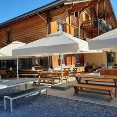
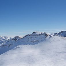
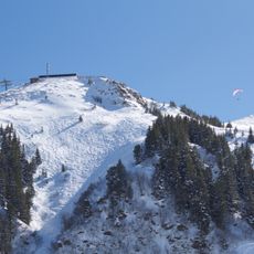
The peak's silhouette is used as a landmark by the Flumserberg ski area, which calls it its "Wahrzeichen" even though no lift reaches it. Several nearby restaurants borrow the name, such as Spitzmeilenblick, and in winter the mountain is a popular ski touring destination.
The usual start is the Flumserberg ski area north of the summit, from where the peak is a day tour; the Spitzmeilenhütte (SAC) at 2,087 m also serves as a base. From the Glarus side the approach begins at Engi in the Sernftal. The key passage is the steep rock summit, reached through a couloir on the east side with easy climbing of grade I–II. In winter it is a popular ski tour destination.
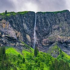
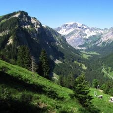
The mountain can be approached from two distinct valleys that create contrasting environments: the Sernftal on the Glarus side and the Schilstal on the St. Gallen side. This dual access means visitors experience very different terrain and landscape character depending on their route choice.
The community of curious travelers
AroundUs brings together thousands of curated places, local tips, and hidden gems, enriched daily by 94,225 contributors worldwide.