Aarburg, municipality in the district of Zofingen in the canton of Aargau in Switzerland
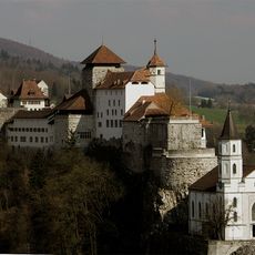
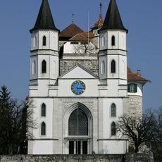
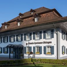
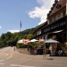
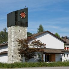
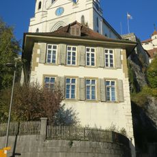
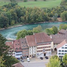
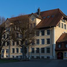
Aarburg is a small town in the canton of Aargau, Switzerland, set along the Aare river and overlooked by a fortress perched on a rocky spur above it. The old town has narrow lanes, stone buildings, and a church with two bell towers that face out toward the river.
The fortress was built around 1200 by the Lords of Büron to control trade along the Aare. It changed hands several times over the following centuries, serving at different points as a prison and a military garrison before coming under heritage protection.
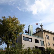
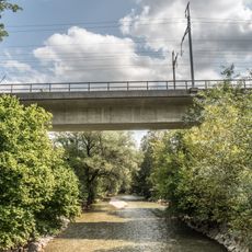
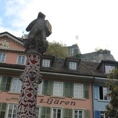
The name Aarburg comes directly from the Aare river and the fortress above the town. Walking through the old streets, visitors notice stone fountains, tidy historic facades, and the way the castle remains a constant presence over daily life below.
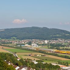
The town is easy to walk through, and most of the old town can be seen on foot without much effort. Trains from Zurich and surrounding towns stop nearby, and parking is available on the edges of the old center for those arriving by car.
The Aarburg fortress is one of the few hilltop fortifications in Switzerland that is still fully intact as a structure, which is rare in the region. Part of the complex today houses a youth institution, meaning the old buildings are in active daily use.
The community of curious travelers
AroundUs brings together thousands of curated places, local tips, and hidden gems, enriched daily by 60,000 contributors worldwide.