
Niederweningen, municipality in Switzerland
Location: Dielsdorf district
Location: Zürich
Elevation above the sea: 505 m
Website: http://niederweningen.ch
GPS coordinates: 47.50750,8.37889
Latest update: April 4, 2025 12:24
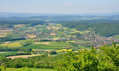
Lägern
3.1 km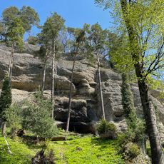
Balmburg, medieval castle site
4.6 km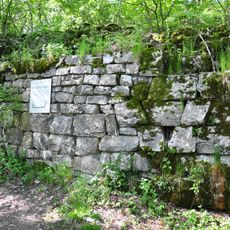
Ruine Alt-Lägern
3.1 km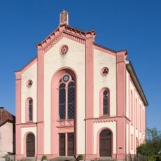
Synagogue
3.9 km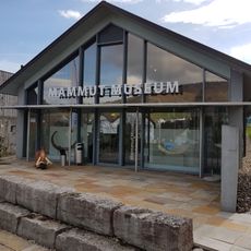
Mammutmuseum Niederweningen
267 m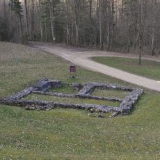
Ruine Sünikon
4.4 km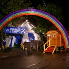
Zirkus Otelli
5.2 km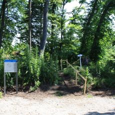
Waldhausen Castle
4.2 km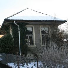
Jewish bathhouse
3.9 km
Reformierte Kirche Ehrendingen
3.2 km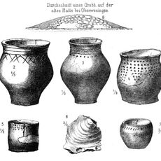
Neolithic tumulus necropolis
2.9 km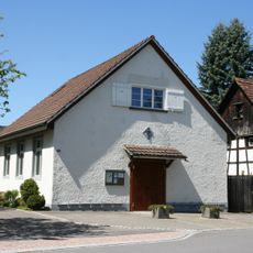
Katholische Kapelle Niederweningen
113 m
Neutrotte
5.5 km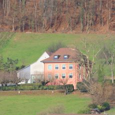
Residential building of the Fährlilee vineyard with barn and washhouse
5.2 km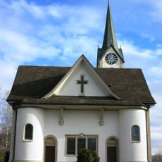
Roman Catholic Parish Church
2.4 km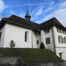
Antonius chapel
1.9 km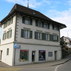
Former schoolhouse of 1813
1.9 km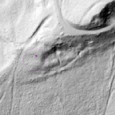
Boppensol
4.8 km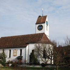
Reformierte Kirche Schöfflisdorf
3 km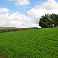
Roman estate
2.2 km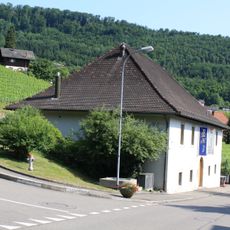
Spital winepress
5.5 km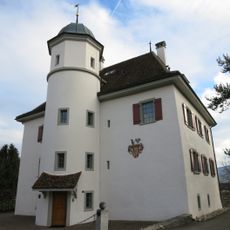
Schlössli
1.8 km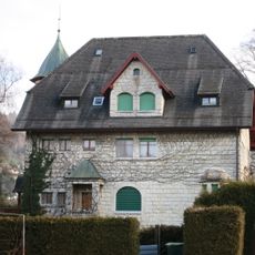
Villa Bucher-Guyer (1906)
716 m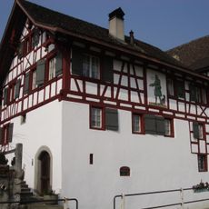
Herrenstube (ehemaliges Amthaus und Wirtschaft)
5 km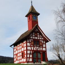
Zythüsli
1.8 km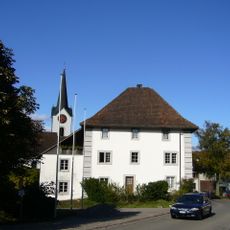
Former bailiff's house
3.1 km
Heinimürler roman estate / early medieval graves
2 km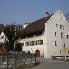
Untermühle mit ehemaliger Brauerei
4.9 kmVisited this place? Tap the stars to rate it and share your experience / photos with the community! Try now! You can cancel it anytime.
Discover hidden gems everywhere you go!
From secret cafés to breathtaking viewpoints, skip the crowded tourist spots and find places that match your style. Our app makes it easy with voice search, smart filtering, route optimization, and insider tips from travelers worldwide. Download now for the complete mobile experience.

A unique approach to discovering new places❞
— Le Figaro
All the places worth exploring❞
— France Info
A tailor-made excursion in just a few clicks❞
— 20 Minutes