
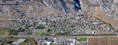
Ardon, municipality in Switzerland
Location: Conthey District
Location: Valais
Elevation above the sea: 503 m
Website: http://ardon.ch
GPS coordinates: 46.20000,7.25000
Latest update: March 18, 2025 17:24
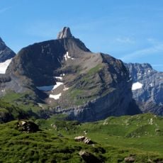
Sex des Branlettes
10.1 km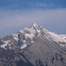
Haut de Cry
6.2 km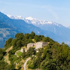
La Soie castle ruins
7.6 km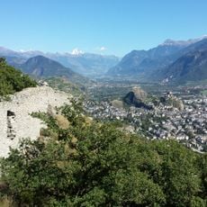
Montorge castle ruin
7.3 km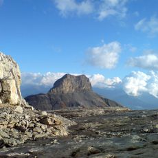
Mont Gond
9.7 km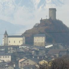
Saillon Castle
6.1 km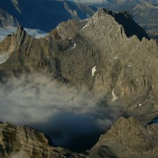
Tête à Pierre Grept
9.4 km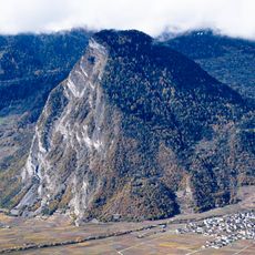
Ardèvaz
3.9 km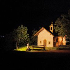
Chapelle Saint-Sébastien de Nendaz
4.3 km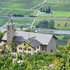
Église du Christ-Roi de Fey
2 km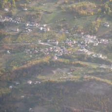
Fey
2.1 km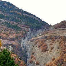
Passerelle à Farinet
5.5 km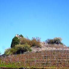
Château des comtes de Savoie
5.5 km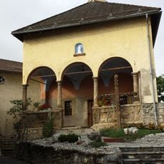
Sainte-Pétronille chapel
5.4 km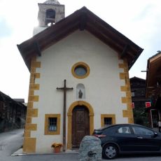
Saint-Michel chapel
4 km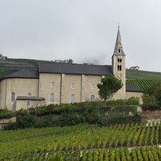
Saint-Séverin church and group of old houses
5.4 km
Église paroissiale
4.1 km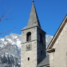
Saint-André church and rectory
1.9 km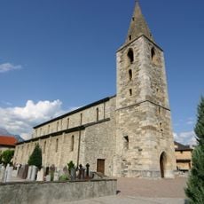
Eglise St-Jean
1.2 km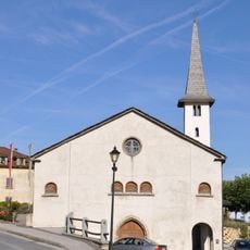
Old church and bell tower
3.6 km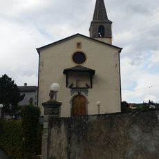
Former Saint-Laurent church
4.2 km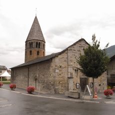
Saint-Pierre church and former priory
1.3 km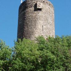
Bayard Tower
6.1 km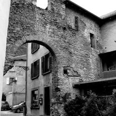
Fortifications of Saillon
6 km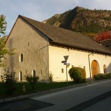
La Vidondée
3.7 km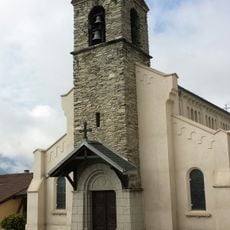
Sainte-Marie-Madeleine church
3.9 km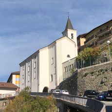
Saint-Théodule parish church
4.3 km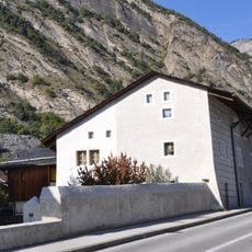
Rossier house
3.5 kmVisited this place? Tap the stars to rate it and share your experience / photos with the community! Try now! You can cancel it anytime.
Discover hidden gems everywhere you go!
From secret cafés to breathtaking viewpoints, skip the crowded tourist spots and find places that match your style. Our app makes it easy with voice search, smart filtering, route optimization, and insider tips from travelers worldwide. Download now for the complete mobile experience.

A unique approach to discovering new places❞
— Le Figaro
All the places worth exploring❞
— France Info
A tailor-made excursion in just a few clicks❞
— 20 Minutes