
Unterentfelden, municipality in the canton of Aargau, Switzerland
Location: Aarau District
Elevation above the sea: 418 m
Part of: RPV Region Aarau
Shares border with: Aarau, Suhr, Oberentfelden
Website: https://unterentfelden.ch
GPS coordinates: 47.36917,8.04167
Latest update: April 6, 2025 23:22
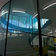
Aargauer Kunsthaus
2.3 km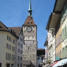
Upper Tower
2.5 km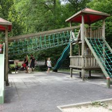
Wildpark Roggenhausen
1.3 km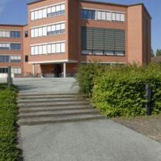
Staatsarchiv Aargau
2.2 km
Aargau canton library
2.3 km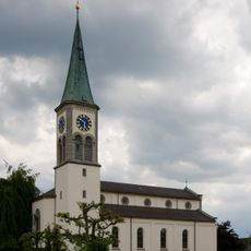
Reformed church
1.4 km
Affenkasten
2.5 km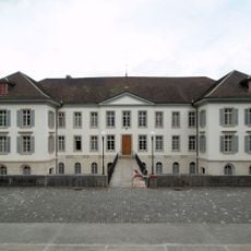
Government Building
2.3 km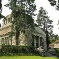
Krematorium Aarau
2.1 km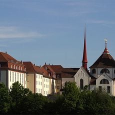
Dominikanerinnenkloster Aarau, Schweiz
2.6 km
Grand Council building
2.3 km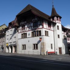
Obere Mühle
2.4 km
Bunteshaus Schönenwerd
2.5 km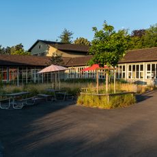
Gönhard Schoolhouse
2.1 km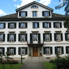
Herosé-Stift
2.4 km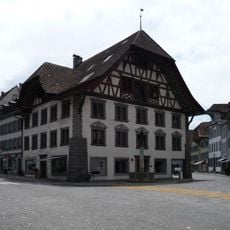
Saxer house
2.5 km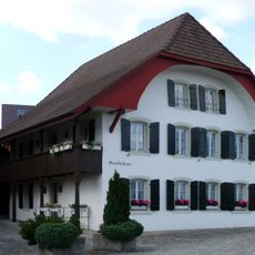
Staufferhaus Local Museum
554 m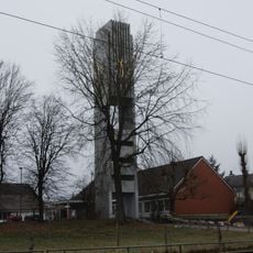
Church Tower of the Evangelical Reformed Church
282 m
Aargau house of art (building)
2.3 km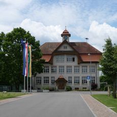
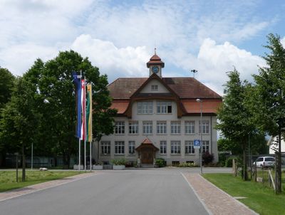
Former Schoolhouse
314 m
Powder or Stork's Nest Tower, Municipal Old People's Asylum
2.6 km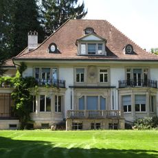
Franke estate: main villa, summer house and bathing pavilion
1.9 km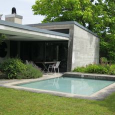
Garden Schmidlin
1.4 km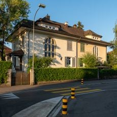
House
2.2 km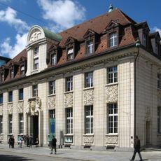
New Aargauer Bank
2.5 km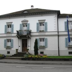
Villa Zurlinden
2.5 km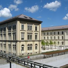
Schoolhouse Pestalozzi
2.5 km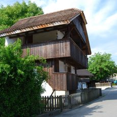
Eppenberg, stone granary
1.5 kmVisited this place? Tap the stars to rate it and share your experience / photos with the community! Try now! You can cancel it anytime.
Discover hidden gems everywhere you go!
From secret cafés to breathtaking viewpoints, skip the crowded tourist spots and find places that match your style. Our app makes it easy with voice search, smart filtering, route optimization, and insider tips from travelers worldwide. Download now for the complete mobile experience.

A unique approach to discovering new places❞
— Le Figaro
All the places worth exploring❞
— France Info
A tailor-made excursion in just a few clicks❞
— 20 Minutes