
Arni, municipality in the canton Aargau, Switzerland
Location: Bremgarten District
Elevation above the sea: 568 m
Part of: RPV Mutschellen-Reusstal-Keller
Shares border with: Hedingen, Jonen, Oberlunkhofen, Unterlunkhofen, Oberwil-Lieli, Islisberg
Website: http://arni-ag.ch
GPS coordinates: 47.31917,8.42222
Latest update: March 3, 2025 01:39

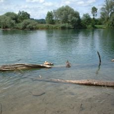
Flachsee
4.1 km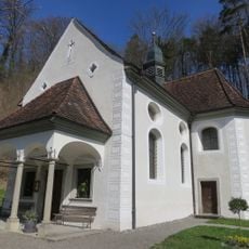
Pilgrimage chapel
2.2 km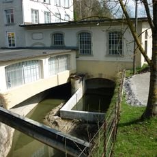
Turbine plant of the former Haas weaving mill
4.8 km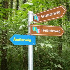
Ämtlerwäg
3.6 km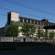
Josef Affoltern Albis
4.9 km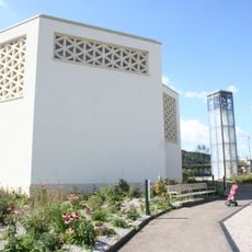
Mauritius Bonstetten ZH
3.6 km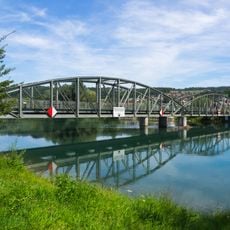
Reuss bridge Rottenschwil-Unterlunkhofen
3.7 km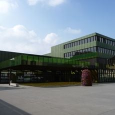
Gemeindehaus Affoltern am Albis
5.2 km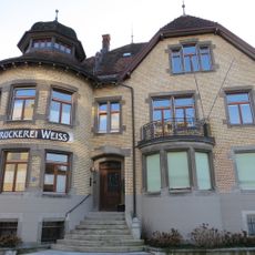
Druckereigebäude Weiss
5.2 km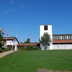
Johanneskirche Arni
179 m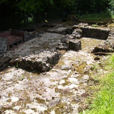
Roman estate
1.4 km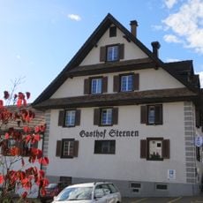
Gasthof zum Sternen
470 m
Ottenbach
4.4 km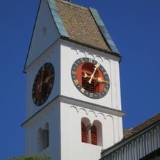
Reformierter Kirche Birmensdorf
3.9 km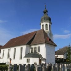
Catholic parish church
3.3 km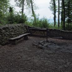
Lunkhofen castle ruin
2.5 km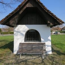
St. Niklaus chapel
3 km
Catholic parish church
2.6 km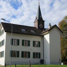
Former schoolhouse and former city hall
384 m
Bärhau, iron age tumulus group
1.8 km
Pasture wall
3.8 km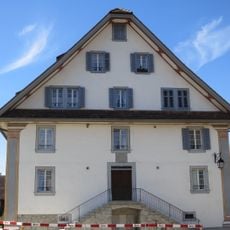
Former tavern: To the Mother of God
3.3 km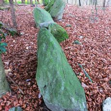
Allmend-Mühliberg, Weidmauer
4.9 km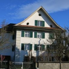
Rectory
2.6 km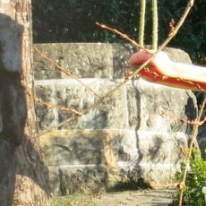
Wellspring
2.7 km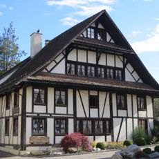
Residential house
74 m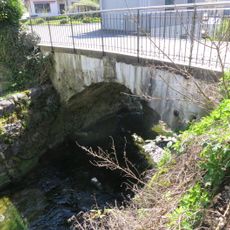
Old village bridge
3.2 km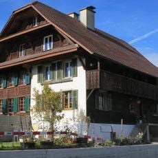
Semi-detached house
212 mVisited this place? Tap the stars to rate it and share your experience / photos with the community! Try now! You can cancel it anytime.
Discover hidden gems everywhere you go!
From secret cafés to breathtaking viewpoints, skip the crowded tourist spots and find places that match your style. Our app makes it easy with voice search, smart filtering, route optimization, and insider tips from travelers worldwide. Download now for the complete mobile experience.

A unique approach to discovering new places❞
— Le Figaro
All the places worth exploring❞
— France Info
A tailor-made excursion in just a few clicks❞
— 20 Minutes