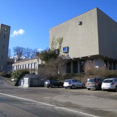
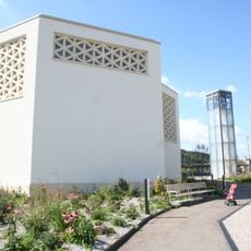
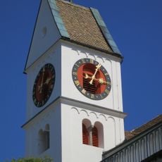
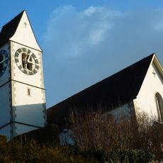
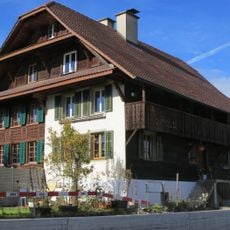
Ämtlerwäg, Hiking trail in Zürich, Switzerland.
The Ämtlerwäg is a 46-kilometre hiking trail through the Säuliamt (Affoltern district) in the Swiss canton of Zurich, with about 500 metres of elevation difference. It links 22 stations with information boards on the district's history, and is marked with blue signposts and yellow dots from the stations of Affoltern am Albis, Bonstetten-Wettswil, Hedingen, Knonau and Mettmenstetten.
The Ämtlerwäg was given to the district's population in 2000 by the Gemeinnützige Gesellschaft des Bezirkes Affoltern (GGA) for its anniversary. It was laid out as a 46-kilometre route linking the Säuliamt's cultural monuments, economically important pillars, historic sites and nature reserves. Twenty-two information boards along the way present the district's history.
The trail's name uses the local term "Ämtlerwäg" for the Säuliamt, the district of Affoltern; the 22 information boards along the route explain the district's history and its landmarks. The path was given to the district's population in 2000 by the Gemeinnützige Gesellschaft des Bezirkes Affoltern for its anniversary.
The trail is well-connected to public transportation, with multiple entry and exit points allowing flexible walking options. Visitors should wear comfortable shoes, bring water, and dress appropriately for the season.
The trail was a gift: the Gemeinnützige Gesellschaft des Bezirkes Affoltern gave it to the district's population for the anniversary in 2000. Its 22 information boards along the 46 kilometres explain the Säuliamt and its history, so the route doubles as a moving exhibition.
The community of curious travelers
AroundUs brings together thousands of curated places, local tips, and hidden gems, enriched daily by 93,943 contributors worldwide.