Planetenweg Uetliberg-Felsenegg, Planet trail on the Albis ridge near Zurich, Switzerland
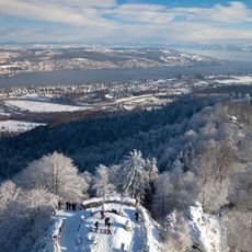
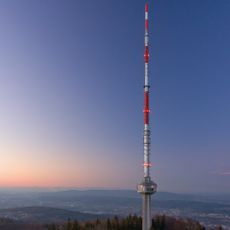
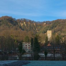
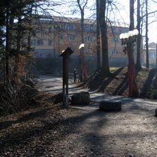
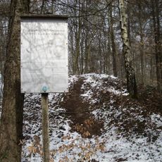
The Planetenweg Uetliberg-Felsenegg is a walking route connecting two mountain summits near Zurich with information panels about planets and the solar system. Labeled stations are positioned along the path to show how the solar system is organized and structured.
The route was created as an educational project to make astronomical distances understandable for walkers. Its design uses a scaling system that relates the distance walked to actual distances between celestial objects.
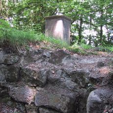
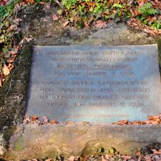
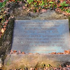
The trail was conceived by Arnold von Rotz and opened on 26 April 1979, with the Astronomical Society Urania Zürich as patron. The planet models are mounted on glacial boulders of the Linth and Reuss glaciers, and each station has a panel giving the planet's position and data such as equatorial diameter and orbital period.
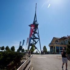
The walk starts at the Uetliberg railway station and ends at the Felsenegg station of the Adliswil–Felsenegg cable car, with an extension to Buchenegg; allow about two hours. It is waymarked as barrier-free route no. 893, the Albisgrat-Höhenweg, so the whole stretch can be followed without steps.
The scale is 1:1 billion, so one metre of trail equals a million kilometres. At that scale the next star, Proxima Centauri, would lie about 40,113 kilometres away, roughly the Earth's circumference of 40,030 kilometres. Pluto has three stations: perihelion before Neptune, mean distance at Felsenegg and aphelion near Buchenegg.
The community of curious travelers
AroundUs brings together thousands of curated places, local tips, and hidden gems, enriched daily by 94,344 contributors worldwide.