
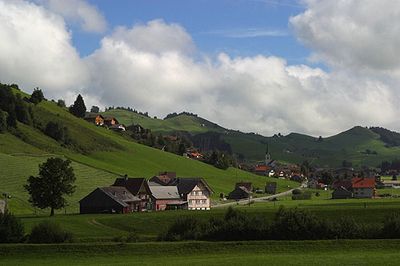
Gonten, municipality in Switzerland
Location: Appenzell Innerrhoden
Elevation above the sea: 902 m
Shares border with: Hundwil, Schlatt-Haslen, Schwende, Appenzell
Website: http://gonten.ch
GPS coordinates: 47.32833,9.34667
Latest update: March 29, 2025 09:46
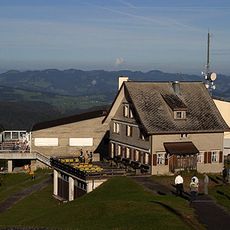
Kronberg
4.3 km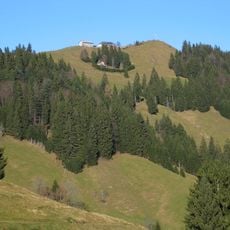
Hundwiler Höhi
1.7 km
Feuerschaugemeinde
4.7 km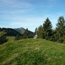
Chlosterspitz
4.5 km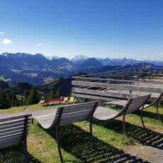
Kronberg
4.3 km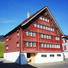
Bürgerhaus Roothuus
75 m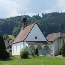
Kapelle St. Antonius
4.1 km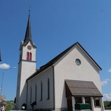
St. Verena catholic church
50 m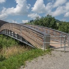
Blättlibrücke
4 km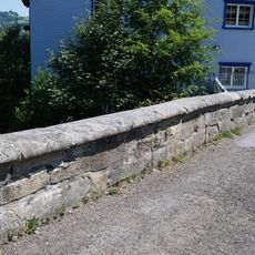
Stone bridge over the Kaubach, Kesselismühle
3.1 km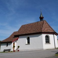
Chapel and group of houses, Enggenhütten
3 km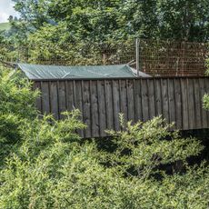
Hühnerstallbrücke
4.1 km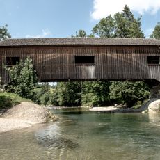
Lankbrücke
4.3 km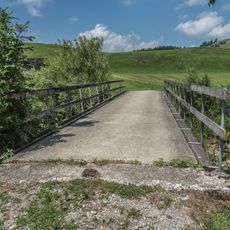
Lankmühle-Brücke
4.1 km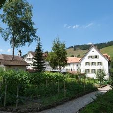
Women's monastery Leiden Christi and the monastery's kitchen gardens and ornamental gardens
1.8 km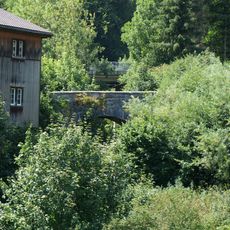
Stone bridge over the Kaubach, Kesselismühle
3 km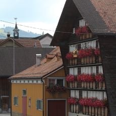
Gasthaus Krone
87 m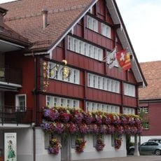
Gasthaus Bären
38 m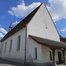
Capuchin monastery of the assumption of the blessed Virgin Mary
4.4 km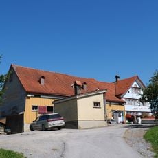
Haus Rütirain
3.9 km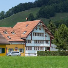
Bauernhaus Sutter-Fuster
4.4 km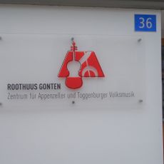
Centre for Appenzell folk music
69 m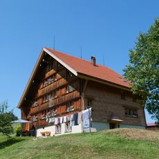
House Mülpis, Karl Brülisauer
4.2 km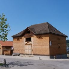
Riedgaden (former granary and hay barn)
4.6 km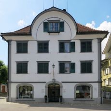
Neuhaus
4.7 km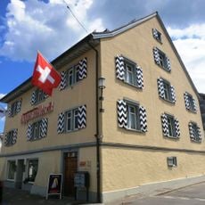
Salesis house
4.7 km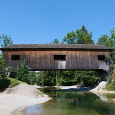
Covered wooden bridge over the Sitter
4.3 km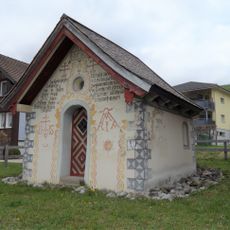
Kapelle St. Loretto
396 mVisited this place? Tap the stars to rate it and share your experience / photos with the community! Try now! You can cancel it anytime.
Discover hidden gems everywhere you go!
From secret cafés to breathtaking viewpoints, skip the crowded tourist spots and find places that match your style. Our app makes it easy with voice search, smart filtering, route optimization, and insider tips from travelers worldwide. Download now for the complete mobile experience.

A unique approach to discovering new places❞
— Le Figaro
All the places worth exploring❞
— France Info
A tailor-made excursion in just a few clicks❞
— 20 Minutes