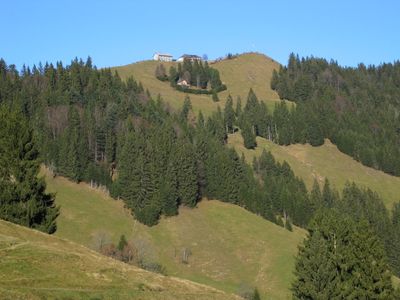
Hundwiler Höhi, Mountain summit in Appenzell Ausserrhoden, Switzerland
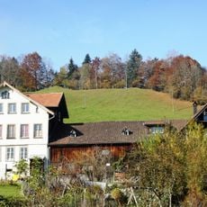
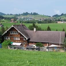
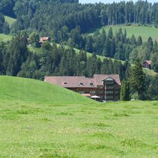
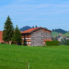
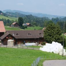
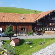
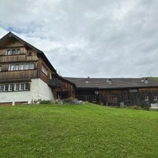
Hundwiler Höhi is a mountain summit that rises to 1,305 meters and sits on the border between two Swiss cantons, with a restaurant and accommodation facilities located at the top. The peak offers views across Lake Constance, the surrounding Alpine ridges, and the valleys below.
This mountain has served as a boundary marker since 1597, when the two cantons separated and established their border along this geographic feature. The peak's role in defining the territorial line between these regions has persisted for more than 400 years.
The restaurant at this summit serves traditional Appenzell dishes prepared according to family recipes that have been passed down for generations. Visitors experience how this mountain location connects people to the flavors and food traditions that define the region's culinary identity.
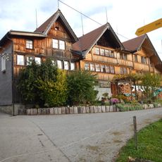
The summit building offers simple dormitory-style overnight stays and a few double rooms, making it a convenient stop for hikers after a mountain walk. The weather conditions at this elevation can be windy and cool, so visitors should wear proper hiking boots and bring layers of warm clothing.
This summit ranks high among the peaks in both cantons but remains less famous than some higher mountains in the region, making it feel like a hidden destination. The quieter crowds here mean visitors can enjoy the views and mountain experience without the hustle of more popular Alpine locations.
The community of curious travelers
AroundUs brings together thousands of curated places, local tips, and hidden gems, enriched daily by 60,000 contributors worldwide.