
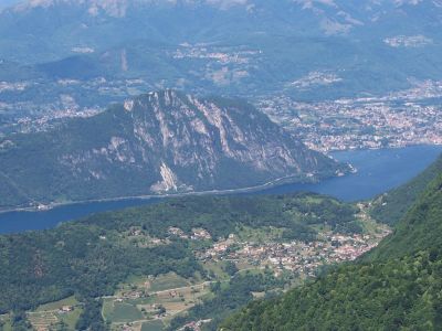
Arogno, municipality in the canton of Ticino, Switzerland
Location: Subdistrict Ceresio
Elevation above the sea: 606 m
Shares border with: Bissone, Lugano, Maroggia, Rovio, Alta Valle Intelvi, Campione d'Italia
Website: http://arogno.ch
GPS coordinates: 45.96667,8.98333
Latest update: April 4, 2025 08:00
Lanzo d'Intelvi
4.3 km
Monte Generoso
4.9 km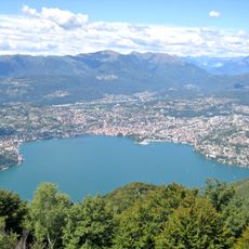
Sighignola
805 m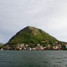
Monte San Salvatore
3 km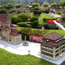
Swissminiatur
2.9 km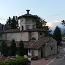
Santa Maria dei Ghirli
1.2 km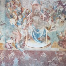
Last judgement by Franco e Filippolo de Veris
1.2 km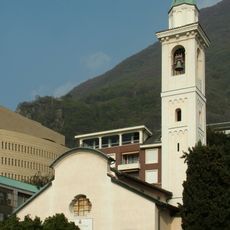
San Zenone
1 km
Family house Balmelli
3.7 km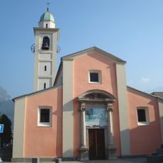
Parish church of Saints Cyricus and Julitta
3 km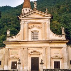
San Carpoforo Parish Church
2.4 km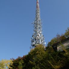
Sender Monte San Salvatore
3.1 km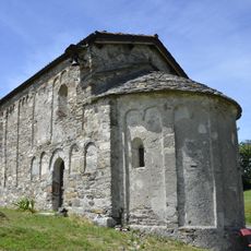
Oratory of St Vigilius
3.8 km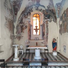
Chiesa-oratorio di San Pietro
973 m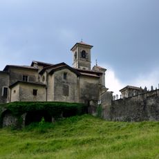
Santo Stefano Parish church
903 m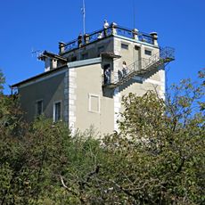
Aussichtsturm Monte San Salvatore
3 km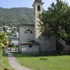
San Rocco Oratory
2.3 km
San Rocco
2 km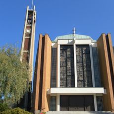
San Zenone
977 m
Town hall of Campione d'Italia
1 km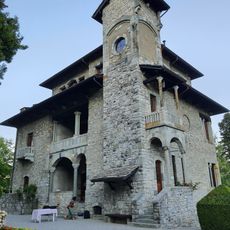
Villa Turconi
3.4 km
Monte d'Orimento
4.7 km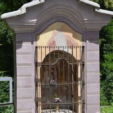
Trinity Chapel
2 km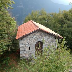
Sant'Agata Oratory
3.5 km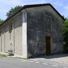
San Michele oratory
1.4 km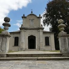
Santuario della Madonna di Loreto
3.2 km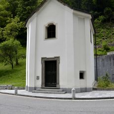
Beata Vergine delle Grazie Oratory
1.9 km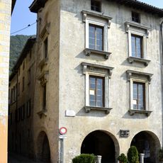
Casellini House
2.3 kmVisited this place? Tap the stars to rate it and share your experience / photos with the community! Try now! You can cancel it anytime.
Discover hidden gems everywhere you go!
From secret cafés to breathtaking viewpoints, skip the crowded tourist spots and find places that match your style. Our app makes it easy with voice search, smart filtering, route optimization, and insider tips from travelers worldwide. Download now for the complete mobile experience.

A unique approach to discovering new places❞
— Le Figaro
All the places worth exploring❞
— France Info
A tailor-made excursion in just a few clicks❞
— 20 Minutes