
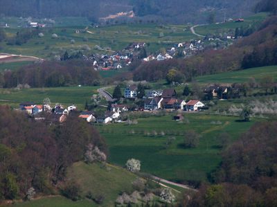
Arisdorf, municipality in the canton of Basel-Landschaft, Switzerland
Location: Liestal District
Elevation above the sea: 344 m
Shares border with: Liestal, Hersberg, Giebenach, Füllinsdorf
Website: https://arisdorf.ch
GPS coordinates: 47.51278,7.76500
Latest update: March 23, 2025 14:10
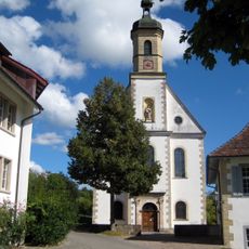
Former Cistercian convent with church, convent building and convent barn
1.4 km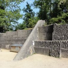
Hülftenschanz
3.5 km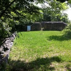
Ruins Altenberg
1.9 km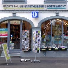
Poets and city museum
3.9 km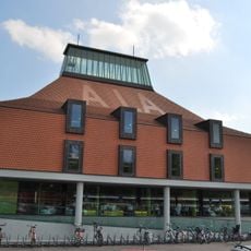
Cantonal library of the Basel-Landschaft
4 km
Basel-Landschaft museum collection
3.8 km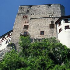
Burgruine Burghalden
3.1 km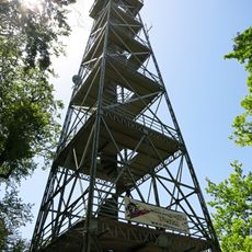
Schleifenbergturm
2.9 km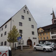
Museum.BL
3.8 km
Giebenach
1.8 km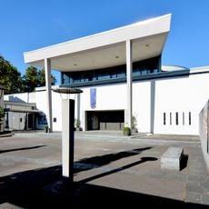
Roman-catholic church Brother Klaus
3.8 km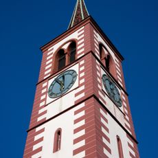
Evangelical-reformed church
3.9 km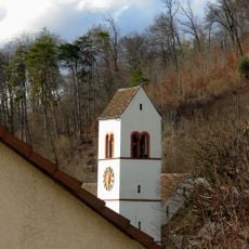
Evangelical Reformed Church with Sigristenhaus
4.1 km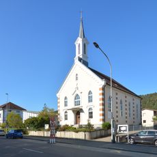
Methodist chapel
4 km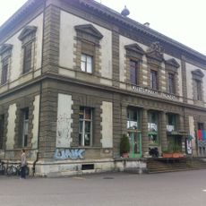
Palazzo House of Culture (Former Post Office Building)
4 km
Thomas Tower
3.9 km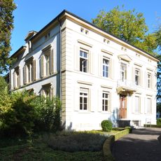
Villa Gauss
3.8 km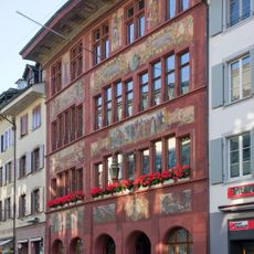
Town hall
3.9 km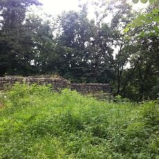
Burghalde, medieval refuge castle ruin
3.1 km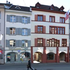
Olsbergerhof
3.9 km
Government building (Freihof)
3.9 km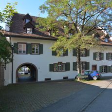
Feldmühle
3.8 km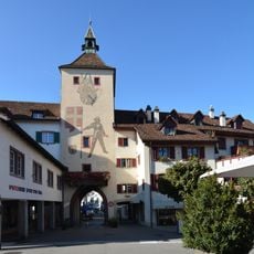
Törli
4 km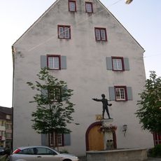
Old Armory (Museum Basel-Landschaft)
3.8 km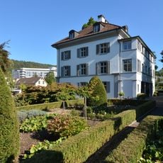
Villa Scholer
3.9 km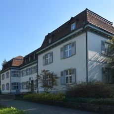
Berrigut
3.8 km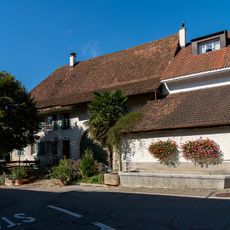
Wohnhaus und Brunnen
2.7 km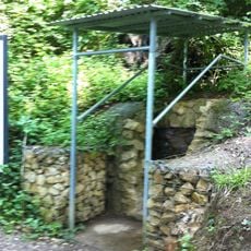
Roman water conduit
3.2 kmReviews
Visited this place? Tap the stars to rate it and share your experience / photos with the community! Try now! You can cancel it anytime.
Discover hidden gems everywhere you go!
From secret cafés to breathtaking viewpoints, skip the crowded tourist spots and find places that match your style. Our app makes it easy with voice search, smart filtering, route optimization, and insider tips from travelers worldwide. Download now for the complete mobile experience.

A unique approach to discovering new places❞
— Le Figaro
All the places worth exploring❞
— France Info
A tailor-made excursion in just a few clicks❞
— 20 Minutes