
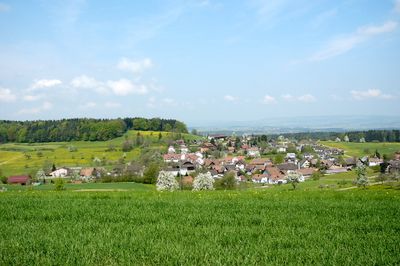
Braunau, municipality in the canton of Thurgau, Switzerland
Location: Münchwilen District
Location: Thurgau
Elevation above the sea: 670 m
Shares border with: Affeltrangen, Bronschhofen, Bussnang, Schönholzerswilen, Wuppenau, Wil, Tobel-Tägerschen
Website: http://braunau.ch
GPS coordinates: 47.49972,9.06667
Latest update: March 23, 2025 18:32
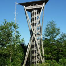
Wil Tower
2.7 km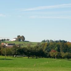
Nollen
4.2 km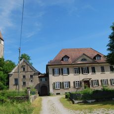
Johanniterkommende Tobel
2.9 km
Burgruine Heitnau
1.8 km
Bettwiesen Castle
2.8 km
Hof zu Wil
3.8 km
Reformed church
3.7 km
Kirche St. Johannes Täufer und Evangelist
2.8 km
Kirche St. Laurentius
4.4 km
Reformed church
563 m
St. Michael catholic chapel
623 m
Reformed church
4 km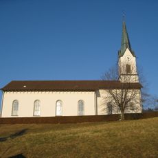
Catholical church St. Urban
3.1 km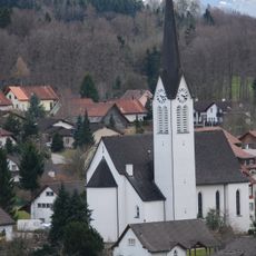
Kirche St. Martin
2 km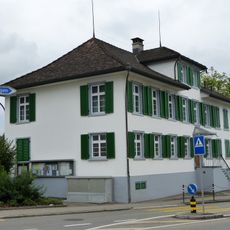
Altes Schulhaus Märwil
3.7 km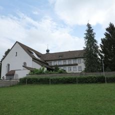
Kapuzinerkloster Wil
3.6 km
Pilgerherberge Tobel
2.9 km
Haus Zum Bären
3.2 km
Freisitz Tägerschen
3 km
Haus Im Loch
3 km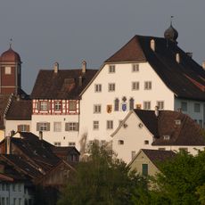
Hof
3.8 km
Former doctor's house
3.1 km
Former Gasthaus Kreuz
523 m
Frohburg residential building
3.1 km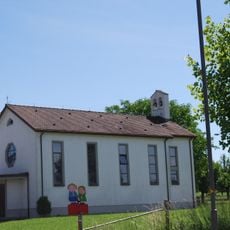
Katholische Kirche Affeltrangen
4 km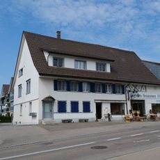
Farmhouse in Tobel-Tägerschen
3 km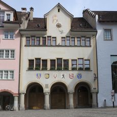
Gerichtshaus (1607)
3.8 km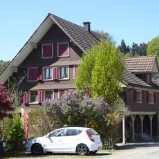
Residential house
468 mVisited this place? Tap the stars to rate it and share your experience / photos with the community! Try now! You can cancel it anytime.
Discover hidden gems everywhere you go!
From secret cafés to breathtaking viewpoints, skip the crowded tourist spots and find places that match your style. Our app makes it easy with voice search, smart filtering, route optimization, and insider tips from travelers worldwide. Download now for the complete mobile experience.

A unique approach to discovering new places❞
— Le Figaro
All the places worth exploring❞
— France Info
A tailor-made excursion in just a few clicks❞
— 20 Minutes