
St. Martin, former municipality of Switzerland
Location: Grisons
Location: Lumnezia/Lugnez
Location: Vals
Elevation above the sea: 1,003 m
Shares border with: Duvin, Safien, Suraua, Vals, Lumbrein, Vignogn
Website: http://stmartin-lugnez.ch
GPS coordinates: 46.66639,9.16639
Latest update: March 5, 2025 23:27
Chisti Lumbrein
3 km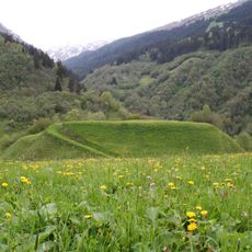
Crestaulta
4.3 km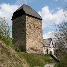
Burg Surcasti
4.1 km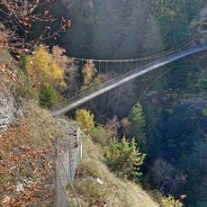
Hängebrücke Val Tersnaus
3.8 km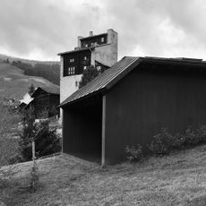
Haus Trancauna
2.9 km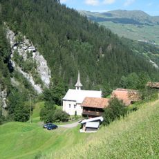
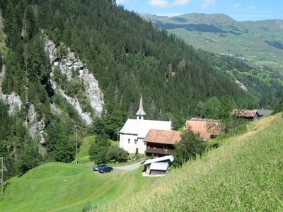
Kirche St. Martin
1.4 km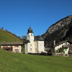
St. Maria (Vals)
4.6 km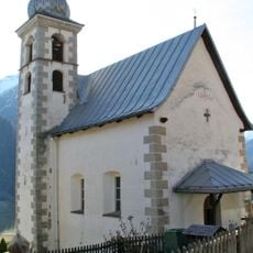
Kapelle St. Andreas Lumbrein
4.1 km
Kapelle Sogn Roc
3.2 km
Catholic church Tersnaus
3.3 km
St. Nikolaus
4.1 km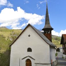
Kapelle St. Karl Borromeo
4.1 km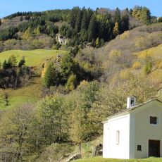
Kapelle Johannes Baptista
4.5 km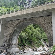
Hohe Brücke
3 km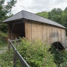
Holzbrücke Silgin
3 km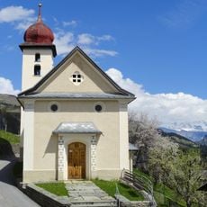
Kapelle St. Joseph
3.5 km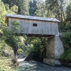
Holzbrücke Vignogn
2.2 km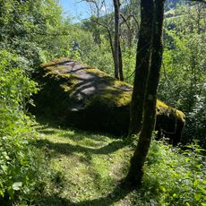
Crap dalla Gneida
2.7 km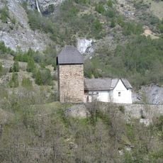
Lumnezia church of San Lorenzo
4.1 km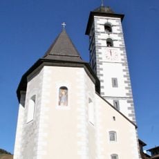
Katholische Kirche St. Martin
3 km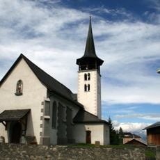
Baselgia c. S. Flurin
3.7 km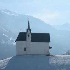
Kapelle St. Viktor
4.3 km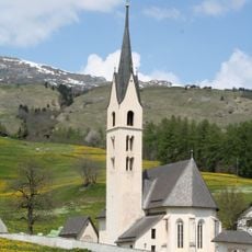
Kirche Nossadunna
4.4 km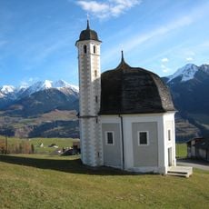
Vattiz Rundkapelle
4.5 km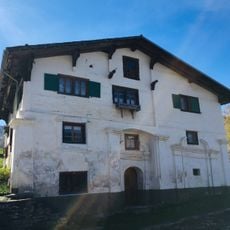
Baroque house
3.7 km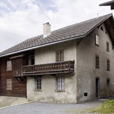
Chasa d'abitar dubla
3.1 km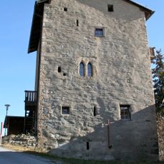
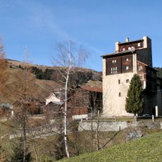
Cas'aulta, chasa-tur
3.1 km
St. Sebastian chapel
2.6 kmReviews
Visited this place? Tap the stars to rate it and share your experience / photos with the community! Try now! You can cancel it anytime.
Discover hidden gems everywhere you go!
From secret cafés to breathtaking viewpoints, skip the crowded tourist spots and find places that match your style. Our app makes it easy with voice search, smart filtering, route optimization, and insider tips from travelers worldwide. Download now for the complete mobile experience.

A unique approach to discovering new places❞
— Le Figaro
All the places worth exploring❞
— France Info
A tailor-made excursion in just a few clicks❞
— 20 Minutes