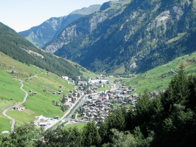
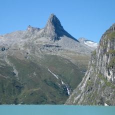
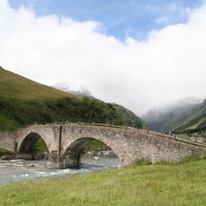
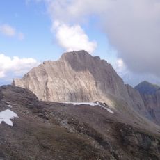
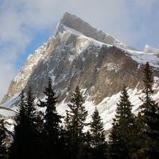
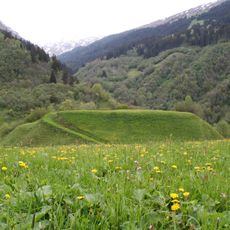
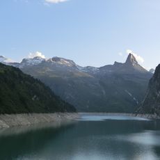
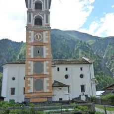
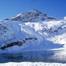
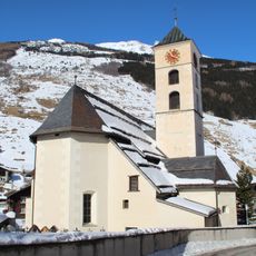
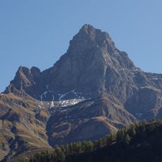
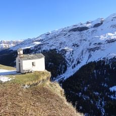
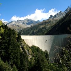
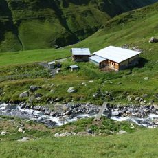
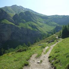
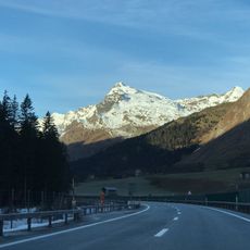
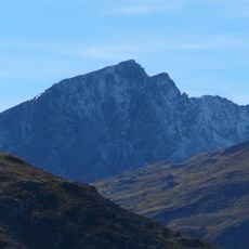
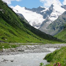
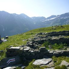
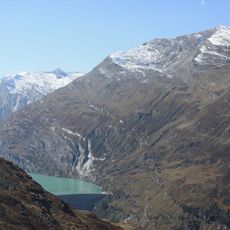
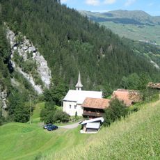
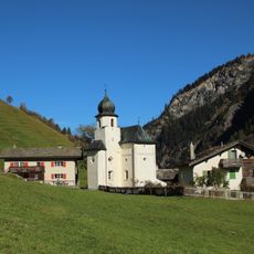
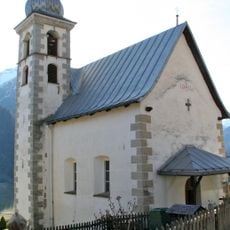
Vals, municipality in Graubünden, Switzerland
Location: Grisons
Location: Lumnezia/Lugnez
Elevation above the sea: 1,252 m
Shares border with: Blenio, Lumbrein, Nufenen, Safien, Hinterrhein, St. Martin
Website: http://vals.ch
GPS coordinates: 46.61639,9.18333
Latest update: March 15, 2025 11:33
Zervreilasee
8.6 km
Piz Terri
11.6 km
Valserrheinbrücke
317 m
Zervreilahorn
11.9 km
Old land bridge
9.9 km
Piz Aul
4.5 km
Piz Uccello
13.1 km
Crestaulta
7.7 km
Güferhorn
14.8 km
Catholic church Vrin
7.7 km
Fanellhorn
8.6 km
St. Peter und Paul, Vals
245 m
Einshorn
11.7 km
St. Anna Vals
6.1 km
Plattenberg
13.9 km
Geissenstall Alp Parvansauls
9.3 km
Valserhorn
6.5 km
Piz Tomül
3.5 km
Chilchalphorn
9.5 km
Piz Gren
14 km
Grauhorn
17.2 km
Bärenhorn
5.9 km
Furggeltihorn
12.9 km
Pizzo di Cassimoi
15.9 km
Faltschonhorn
5.3 km
Kirche St. Martin
6.5 km
St. Maria (Vals)
1.2 km
Kapelle St. Andreas Lumbrein
8.3 kmVisited this place? Tap the stars to rate it and share your experience / photos with the community! Try now! You can cancel it anytime.
Discover hidden gems everywhere you go!
From secret cafés to breathtaking viewpoints, skip the crowded tourist spots and find places that match your style. Our app makes it easy with voice search, smart filtering, route optimization, and insider tips from travelers worldwide. Download now for the complete mobile experience.
A unique approach to discovering new places❞
— Le Figaro
All the places worth exploring❞
— France Info
A tailor-made excursion in just a few clicks❞
— 20 Minutes