Piz Terri, Mountain summit in Lepontine Alps, Switzerland
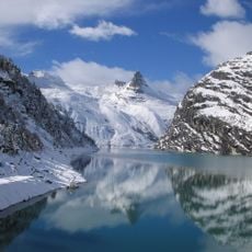
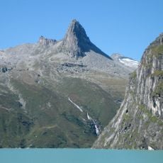
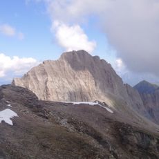
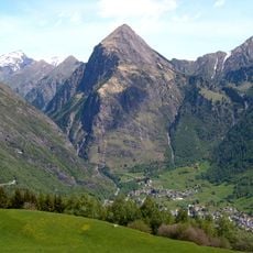
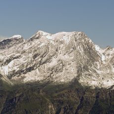
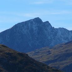
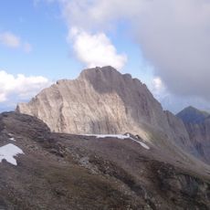
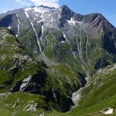
Piz Terri is a summit in the Lepontine Alps standing at 3,149 meters and positioned between Val Sumvitg, Val Blenio, and Lumnezia. The peak displays steep rock faces and holds the Glatscher dil Terri on its slopes.
The first documented ascent occurred between 1801 and 1802 when Father Placidus a Spescha from Disentis monastery reached the summit. This early exploration connected the monastery to the alpine mountaineering tradition.
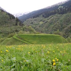
The name is said to derive from a dry alpine meadow in the Lugnez, the valley on the mountain's northeast side. The summit stands on the border between the Romansh-speaking Lumnezia and the Italian-speaking Valle di Blenio, so place names on either side come from different languages.
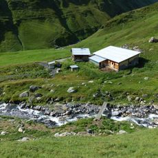
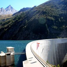
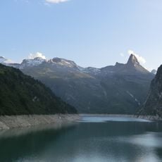
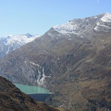
The normal route starts above Lake Luzzone at the Motterascio hut (2,171 m), owned by the Swiss Alpine Club, and climbs via points 2,276, 2,534, 2,699 and 2,898 m to the west ridge; allow about 3.5 hours. From the Camona da Terri the way runs over Plaun la Greina, Val Canal and a glacier lake to point 2,898 m, about 4.5 hours. The Glatscher dil Terri has shrunk greatly, and large amounts of scree have changed the character of the normal route.
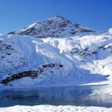
The mountain's north face once fed the Glatscher dil Terri glacier, which reached down to Laghet la Greina at 2,585 metres; the ice has since shrunk back, leaving large amounts of scree that changed the normal route. The small lake covers 0.183 km² just northwest of the summit.
The community of curious travelers
AroundUs brings together thousands of curated places, local tips, and hidden gems, enriched daily by 93,641 contributors worldwide.