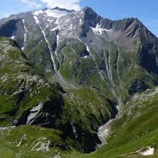
Piz Medel, Mountain summit in Lepontine Alps, Switzerland
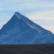
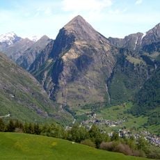
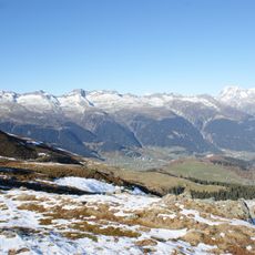
Piz Medel is a 3,210-metre summit of the Adula Alps, the highest peak of the west-east chain running from Piz Cristallina to Fil Liung. Its summit plateau straddles the Ticino-Graubünden border, with the northern part in Medel (Lucmagn) and the southern in Blenio. The peak is built of Augengneis, and the Glatscher da Medel spreads below its north-west side.
The first ascent was made on 9 June 1865 by Frau Deplaci, Baptist Monn and Frau Störi, who climbed via the Fil Liung. That route is rarely used today because the rock on the Fil Liung is brittle. The name is thought to derive from the Greek metallion, linked to former mining activity in the Val Medel.
The name Piz Medel probably derives from the Greek metallion, linked to former mining activity in Val Medel. The summit plateau straddles the Ticino–Graubünden border, with the northern part in Medel (Lucmagn) and the southern in Blenio. Since 2010 a summit cross with a summit book has stood on the peak, placed on the initiative of Disentis/Mustér mountain guide David Berther.
The Medelserhütte, operated by the Swiss Alpine Club, offers lodging and serves as the primary starting point for climbers. Check conditions beforehand, as snow and ice can affect accessibility and route difficulty throughout the year.
The summit cross and summit book were placed on 9 June 2010 on the initiative of David Berther, a mountain guide from Disentis/Mustér. The peak was also to lie in the core zone of the proposed Parc Adula, a park project that was rejected.
The community of curious travelers
AroundUs brings together thousands of curated places, local tips, and hidden gems, enriched daily by 93,786 contributors worldwide.