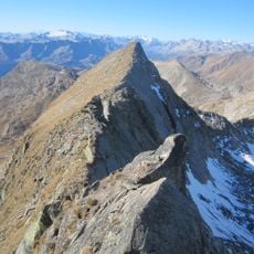
Piz Gannaretsch, Mountain summit in Grisons, Switzerland
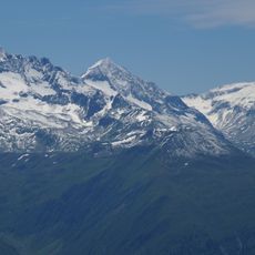
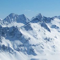
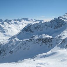
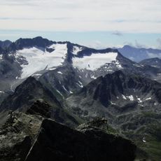
Piz Gannaretsch is a 3,040-metre summit in the Lepontine Alps (Adula Alps) of Graubünden, the highest point of the range between the St Gotthard and Lukmanier passes. It stands on a north–south crest forming the boundary between the municipalities of Medel and Tujetsch, though the summit itself lies about 80 metres inside Medel. The Glatscher da Gannaretsch glacier covers its north-western flank, above the Val Nalps to the west and the Val Medel to the east.
Piz Gannaretsch was first climbed in 1895 by Ernst Amberg and Anton Züblin. Older maps label the summit Piz Ganneretsch. The north-south crest it crowns also marks the municipal boundary between Medel and Tujetsch, though the summit itself lies about 80 metres inside Medel.
The name Piz Gannaretsch is Romansh, from the idiom spoken in the Tujetsch valley around Sedrun. Older maps label the peak Piz Ganneretsch, a spelling still met in German-language sources. The summit stands on the ridge forming the boundary between the municipalities of Medel and Tujetsch, about 80 metres inside Medel.
Climbers reach the summit via multiple routes starting from Sedrun, with the best conditions occurring during summer months from June to September. At this time of year, the conditions are most favorable for experienced mountaineers with proper gear.
Piz Gannaretsch is the highest point of the range between the St Gotthard Pass and the Lukmanier Pass. Older maps label it Piz Ganneretsch, and the summit lies about 80 metres inside the municipality of Medel, on the ridge that forms the boundary with Tujetsch.
The community of curious travelers
AroundUs brings together thousands of curated places, local tips, and hidden gems, enriched daily by 94,621 contributors worldwide.