Fanellhorn, Mountain summit in Grisons, Switzerland
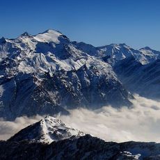
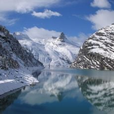
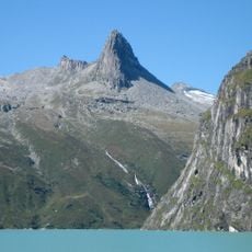
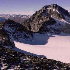
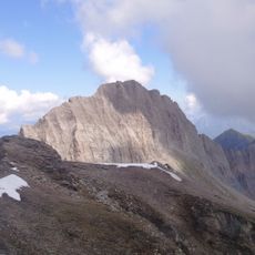
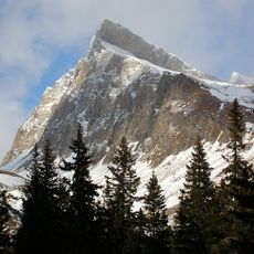
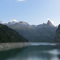
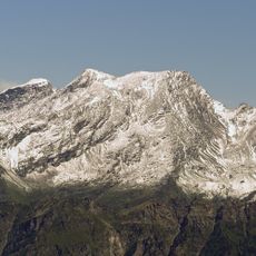
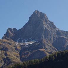
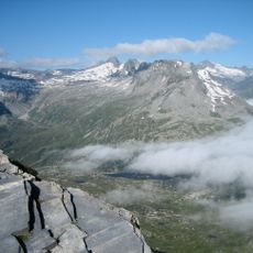
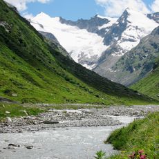
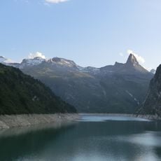
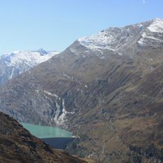
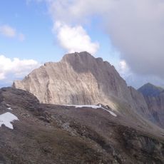
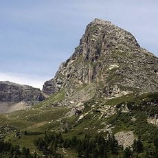
Fanellhorn is a 3,123 m mountain in the Adula Alps of Graubünden, Switzerland, entirely within the municipality of Vals. Its three-sided pyramid forms the centre of the small Fanellhorn group, bounded by the Canaltal to the west and the Fanellgletscher to the south. A ridge links it with the Guraletschhorn and Ampervreilhorn, separating the Valser Tal from the Peilertal.
The mountain routes around Fanellhorn were established during the 1800s when alpine clubs began mapping and marking trails for exploration. These paths made the area more accessible to hikers and scientists interested in the Lepontine range.
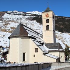
The name Fanellhorn comes from the Italian fango, meaning mud, and the Romansh faun or feun for puddle, kept in Fanella Alp and Fanellahorn and extended with -ella like Lavinella from lavina, avalanche. The Valser Wanderbus links the village with trailheads such as Zervreila and Peil in summer.
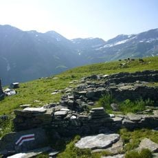
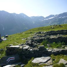
The signposted route leaves the Guraletschsee and gains the Fanellgrätli ridge at 2710 m, then follows the northeast ridge to the summit; the section above 2710 m is marked blue and white (Swiss grade T4), the part below red and white (T2). The approach from Zervreila can be combined with the three-lake hike past Guraletschsee, Amperveilsee and Selvasee, descending via Selva Alp to Vals. In winter the Zervreila and Marcheggen wildlife reserves apply, with no entry at all into the Zervreila zone between 20 December and 15 April.
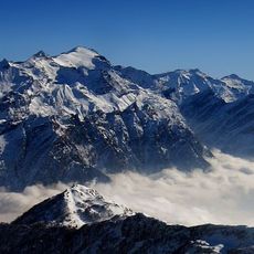
From the summit, the farthest visible point is Monte Cusna in Italy's Emilia-Romagna region, 272 km away between Bologna and La Spezia. The peak is a three-sided pyramid forming the centre of the small Fanellhorn group, with the Guraletschhorn and Ampervreilhorn on the ridge separating the Vals valley from the Peilertal.
The community of curious travelers
AroundUs brings together thousands of curated places, local tips, and hidden gems, enriched daily by 93,961 contributors worldwide.