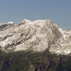
Rheinwaldhorn, Mountain summit at Grisons-Ticino border, Switzerland
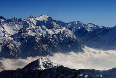
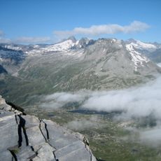
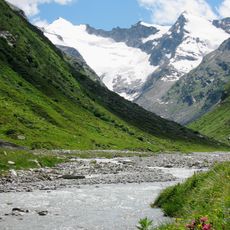
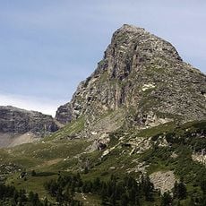
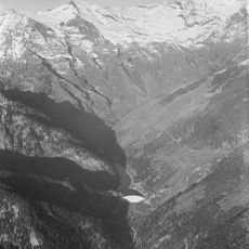
The Rheinwaldhorn, also known as Adula, is a mountain summit on the border between Grisons and Ticino in Switzerland. It sits at the heart of the Adula Alps group, with a glacier covering much of its northern face and steep rocky slopes dropping toward the south.
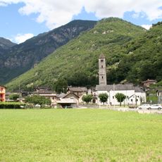
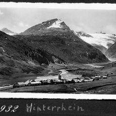
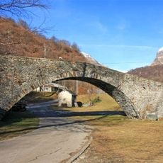
The mountain sits along old paths that have connected the Rhine valley to the north with Ticino to the south for centuries. The passes around it served as crossings for traders and travelers moving between these two very different parts of the Alps.
People on either side of the border use different names for the peak, reflecting the languages and traditions that separate the Alpine communities living in Grisons and Ticino. This linguistic boundary makes the mountain a natural cultural meeting point between Germanic and Italian-speaking regions.
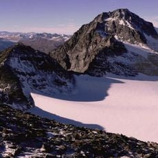
The most common starting point is Capanna Adula, a mountain hut at around 2,400 feet (730 m) above the valley floor, from which marked routes lead upward. Solid alpine experience and stable weather conditions are both needed for a safe ascent.
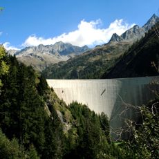
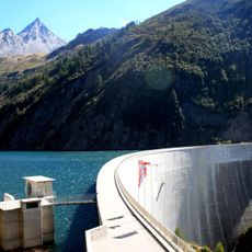
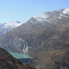
The summit is a major watershed point where rain falling on one side eventually drains to the North Sea, while rain on the other side flows toward the Adriatic. A single ridge line thus separates water heading to two entirely different seas.
The community of curious travelers
AroundUs brings together thousands of curated places, local tips, and hidden gems, enriched daily by 60,000 contributors worldwide.