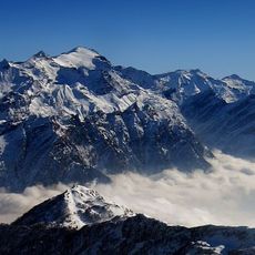
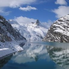
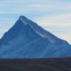
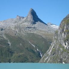
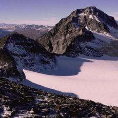
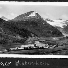
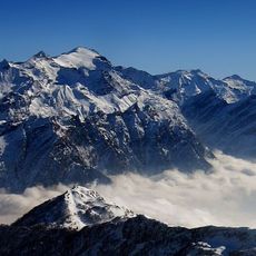
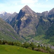
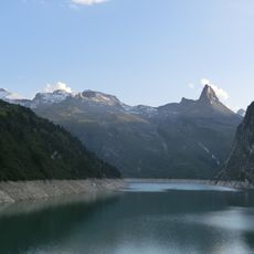
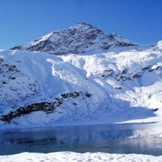
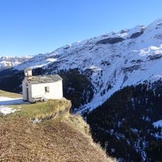
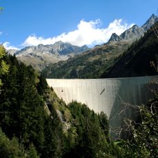
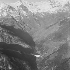
Cima di Aquila, Mountain summit in Blenio District, Switzerland
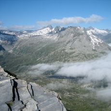
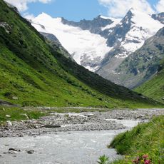
Cima di Aquila is a mountain peak in the Blenio District featuring sharp rocky cliffs and diverse terrain. Multiple established paths cross the slopes, offering options for hikers and climbers of varying skill levels.
The summit long lacked an official name on Swiss national maps, marked only by a small cross. The 1864 Dufour map placed it within the glacier of Val Scaradra and on the cantonal border; the 1872 Siegfried map labelled it "Piz Sorda", a name now given to a peak 1.2 km northwest. The name Cima di Aquila was officially introduced with the 2018 national map edition.
The name Cima di Aquila was proposed to the federal topography office because the peak lies on the territory of the Patriziato di Aquila and birds of prey are seen on the summit. The Patriziato, a Blenio communal body, campaigned for the peak to be recognised as the highest summit entirely in Ticino. The name was officially added to the national map in 2018.
Bring sturdy footwear and weather-resistant clothing, as mountain conditions can change rapidly at this elevation. Nearby villages offer lodging and food options to support visits to the area.
The summit's official name only appeared on Swiss national maps in 2018, after the Patriziato di Aquila proposed it to the federal topography office, citing the peak's location on its land and the birds of prey seen there. Earlier maps labelled it "Piz Sorda" or left it unnamed.
The community of curious travelers
AroundUs brings together thousands of curated places, local tips, and hidden gems, enriched daily by 94,625 contributors worldwide.