Chest opened
+${chestReward.xp} XP
Explorer
NOUVEAU ×${chestReward.collectible.quantity}
tapez pour fermer

See the monuments around you in AR Open chests in the app

Around Us is built for your phone — point your camera at the streets and discover the monuments and places around you in augmented reality. Around Us is built for your phone — chests unlock when you walk, explore and capture nearby places.

•

Enable Location

We need your location to show you interesting places around you

Discover nearby places

Find interesting locations and hidden gems around you

Precise directions

Get accurate directions and distances to places

Your location is never shared with other users. It's only used when you tap the location button.

Zervreilahorn

Log in to your account

Start exploring — it's free

Trusted by 94,079 travelers worldwide

Continue with Google
Continue with Apple
or

We will send you a code to connect

By continuing, you accept our Terms and Conditions and our Privacy Policy

Check your inbox

We've sent a pincode in your inbox. Please enter the code below.

Zervreilahorn

Zervreilahorn, Mountain summit in Graubünden, Switzerland

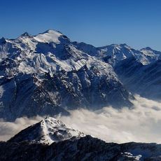
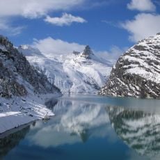
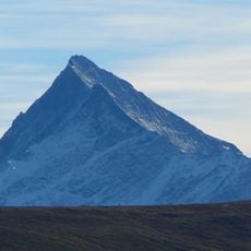
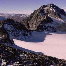
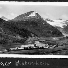
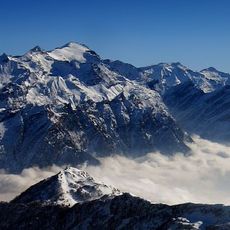
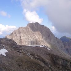
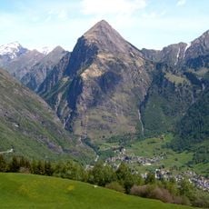
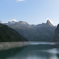
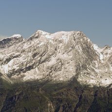
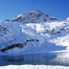
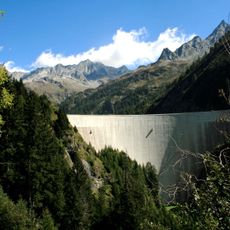
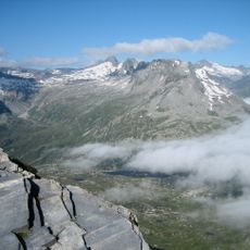
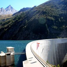
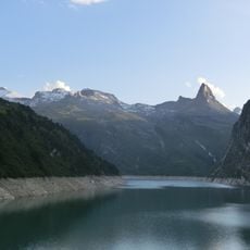
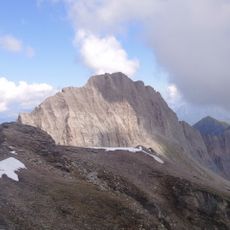
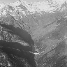
Zervreilahorn is a 2,898 m summit in the Adula Alps above the Zervreilasee, south of Vals in Graubünden. From the lake it looks like a pyramid, earning the nickname "Bündner Matterhorn", but it is actually a jagged northeast–southwest ridge with two main peaks, the lower northeast summit reaching 2,862 m. The southwest summit is climbed via the south ridge (T5, II) or the southeast face ramp, while the northeast summit has a V-grade (UIAA) route on its northeast ridge.

The main summit was first climbed on 13 August 1885 by Emil Huber and A. Frick, who took the north face route from Lampertsch Alp. The lower north-east summit (2,862 m) was first reached on 24 July 1895 by Jörger with B. Schnyder via the south-east face. Technical lines followed later, including the Fahnenroute by Hannes Tönz and Karl Furger on 15 August 1977.

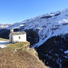
The name Zervreila derives from the Latin alpis superaria, "the uppermost alp", recorded as alpis de Seurera in 1301 and Safraylen in 1504. The peak appears on the label of Valser mineral water, bottled from the Vals valley springs. The Furggelti path between the Zervreilahorn and the Furggeltihorn leads hikers to the Läntahütte.

The best time to climb is from spring through fall when snow and ice have mostly melted away. Beginners should go with an experienced guide since the routes do not have fixed protection gear.

The Zervreilahorn appears on the label of Valser mineral water, bottled from the spring in the Vals valley. From the Zervreilasee it looks like a sharp pyramid, which earned it the nickname "Bündner Matterhorn"; from the other side it is a jagged ridge with two main summits, the lower northeast peak reaching 2,862 m.

The community of curious travelers

AroundUs brings together thousands of curated places, local tips, and hidden gems, enriched daily by 94,079 contributors worldwide.

Start exploring
Location
Elevation above the sea
2,898 m
GPS coordinates
46.55058,9.06083
Latest update
October 25, 2026 06:34
Reviews
Share your experience

No review yet

Discussions
Start a discussion...

No discussion yet

« Zervreilahorn - Mountain summit in Graubünden, Switzerland » is provided by Around Us (aroundus.com). Images and texts are derived from Wikimedia project under a Creative Commons license. You are allowed to copy, distribute, and modify copies of this page, under the conditions set by the license, as long as this note is clearly visible.

Discover hidden gems everywhere you go!

From secret cafés to breathtaking viewpoints, skip the crowded tourist spots and find places that match your style. Our app makes it easy with voice search, smart filtering, route optimization, and insider tips from travelers worldwide. Download now for the complete mobile experience.
Around Us App Screenshot
❝

A unique approach to discovering new places❞

— Le Figaro

❝

All the places worth exploring❞

— France Info

❝

A tailor-made excursion in just a few clicks❞

— 20 Minutes

Around Us
Travel Guide & Maps
Download

Send to your phone

QR Code
1

Open the camera app on your mobile.

2

Point at the QR code with your camera. A notification will appear.

3

Tap the notification to open the link.