Parc Adula, Protected natural area in Grisons and Ticino, Switzerland
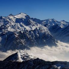
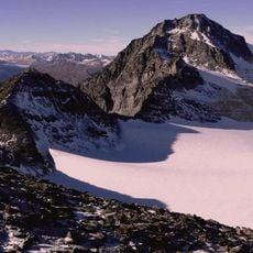
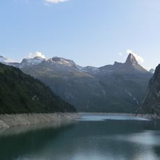
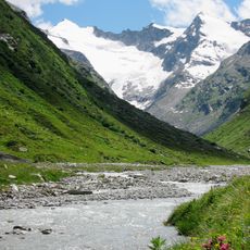
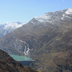
Parc Adula is a protected natural area spanning across Grisons and Ticino with alpine meadows, forests, and rocky mountain peaks. The landscape changes dramatically as elevation increases, moving from wooded valleys to open alpine terrain and high rocky summits.
Parc Adula was a project for a second Swiss national park around the Rheinwaldhorn between Grisons and Ticino. A first promotion group formed in 2000, the feasibility study was completed in 2007, and the Parc Adula association was founded in 2008. In 2010 the Federal Office for the Environment recognised it as a candidate national park; on 27 November 2016 the communes voted against the park charter.
The park sits where German, Italian, Romansh, and Walser German-speaking communities meet, creating a diverse cultural landscape across the valleys and settlements. These different traditions remain visible in the villages and how locals engage with the land around them.
The park project covered 17 municipalities in Grisons and Ticino, from Disentis/Mustér and Sumvitg to Blenio, Calanca and Soazza. Access to the Adula area follows existing valley roads and hiking trails; the Greina plateau at around 2000 m and the Trescolmen reserve between Misox and Calancatal are reached on foot. The park was never established, so there are no park visitor centres.
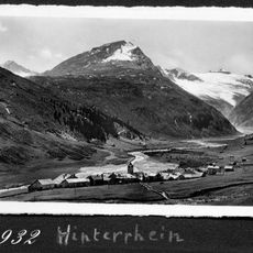
The planned park covered one of Switzerland's largest areas without substantial human intervention, around the Adula peak between Grisons and Ticino. Within it lay the Greina plateau, a tundra landscape at about 2,000 m, and the sources of both the Vorderrhein and Hinterrhein. In the vote of 27 November 2016 the municipalities rejected the park charter.
The community of curious travelers
AroundUs brings together thousands of curated places, local tips, and hidden gems, enriched daily by 94,623 contributors worldwide.