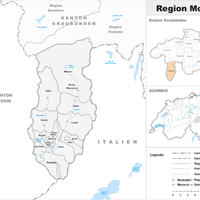
Canton of the Grisons, Canton in southeastern Switzerland
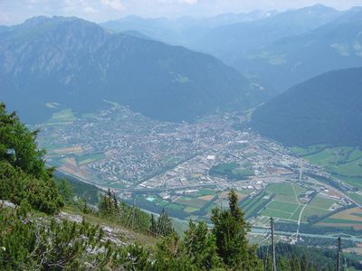
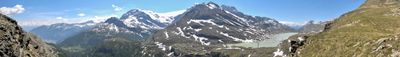
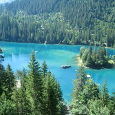
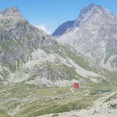
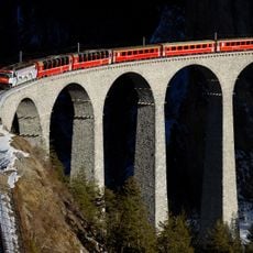
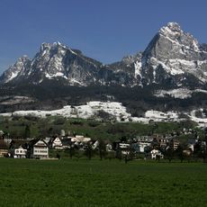
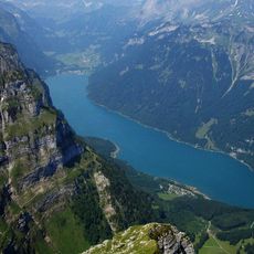
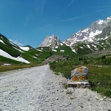
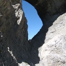
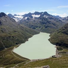
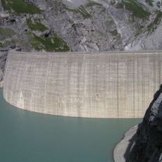
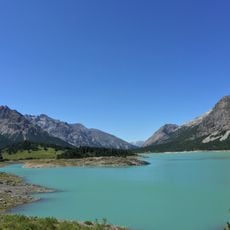
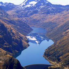
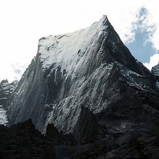
Canton of the Grisons is an administrative division in southeastern Switzerland that covers high mountain ranges, broad valleys and many alpine lakes. This alpine landscape spreads across wide areas and connects remote high valleys with larger towns through winding mountain passes.
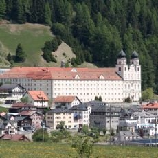
Three medieval leagues joined together in the late 15th century and entered an alliance with the Old Swiss Confederacy in 1496. This union laid the foundation for the political structure of the region today.
Three official languages shape daily life in this region, with villages and valleys keeping their own linguistic traditions alive. Visitors hear German, Romansh and Italian side by side and see bilingual village signs that mark the language shift from valley to valley.
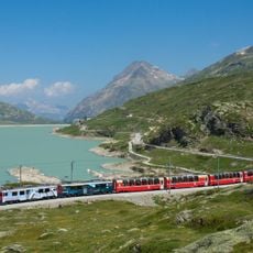
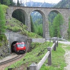
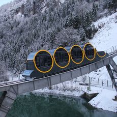
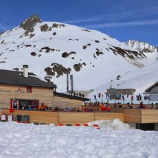
Mountain railways and trains run throughout the year, with winter schedules often adding extra connections to ski areas. Hiking trails at higher elevations are usually snow-free and accessible from June to October.
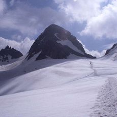
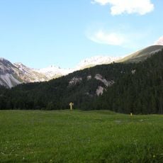
The Swiss National Park within this region is the first protected area in the Alps where any human interference has been prohibited since its founding in 1914. Wildlife moves here without disturbance, and fallen trees remain on the ground so nature can follow its own cycle.
Location: Switzerland
Inception: 1496
Capital city: Chur
Elevation above the sea: 585 m
Part of: Southeastern Switzerland
Shares border with: Canton of Ticino, Canton of Glarus, Canton of Uri, Canton St. Gallen, Vorarlberg, Tyrol, Lombardy, South Tyrol, Trentino-South Tyrol, Province of Como, Province of Sondrio, Gravedona ed Uniti, Livo, Dosso del Liro
Website: http://gr.ch
GPS coordinates: 46.75000,9.50000
Latest update: December 4, 2025 19:01
Contra Dam
79.3 km
Piz Buin
48.3 km
Bernina railway line
55 km
Viamala
10.5 km
Lago di Vogorno
78.9 km
Albula Railway
55 km
Schesaplana
37.3 km
Bologna Cathedral
77.8 km
Julier Pass
35.5 km
Funicular Schwyz–Stoos
68.4 km
Oberalp Pass
64.1 km
Landwasser Viaduct
15.5 km
Mythen
69.1 km
Morteratsch Glacier
50.3 km
Klöntalersee
50 km
Disentis Abbey
49.3 km
Swiss National Park
45.7 km
Martinsloch
26.9 km
Silvretta Reservoir
48.5 km
Linth–Limmern Power Stations
38.9 km
Tarasp Castle
58.2 km
Hölloch Cave
59.8 km
Bacino di San Giacomo
62.9 km
Lago di Lei
33.5 km
Piz Badile
51.1 km
Monte Disgrazia
56.8 km
Saint John Abbey
73.6 km
Ponte dei Salti
74.6 kmVisited this place? Tap the stars to rate it and share your experience / photos with the community! Try now! You can cancel it anytime.
Discover hidden gems everywhere you go!
From secret cafés to breathtaking viewpoints, skip the crowded tourist spots and find places that match your style. Our app makes it easy with voice search, smart filtering, route optimization, and insider tips from travelers worldwide. Download now for the complete mobile experience.
A unique approach to discovering new places❞
— Le Figaro
All the places worth exploring❞
— France Info
A tailor-made excursion in just a few clicks❞
— 20 Minutes