Julier Pass, Mountain pass in Grisons, Switzerland
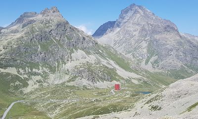
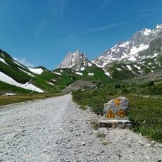
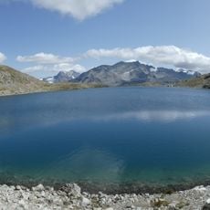
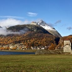
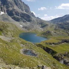
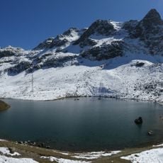
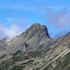
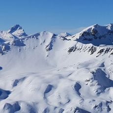
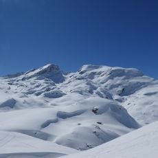
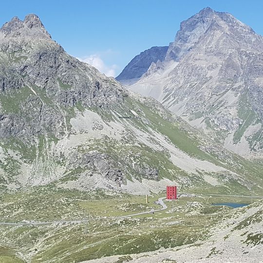
The Julier Pass is a mountain pass in the Albula Alps of Graubünden, Switzerland, at 2284 m, linking the Engadin valley with central Graubünden. The pass road climbs from Tiefencastel through Savognin, Marmorera and Bivio, then descends to Silvaplana. The maximum gradient is just under 12 percent, and the carriageway is wider than 5 m throughout. At the summit, two soapstone columns flank the road, and a small lake, Lej da las Culuonnas, lies a few metres south.
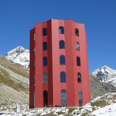
The Julier Pass was already in regular use in the Bronze and Iron Ages; in 2019, remains of pre-Roman copper workings dating to about 1000 BC were found near the summit. Under Rome it was one of the most important Alpine crossings, and excavations in 1934/35 uncovered the foundation of a Roman sanctuary whose two soapstone columns still flank the road at the top. The modern road was built between 1820 and 1828 under Richard La Nicca, and between 1935 and 1940 the pass became the first Swiss alpine road paved with asphalt.
The name Julier is pre-Roman and was first recorded in 1365 as "an den Berg Julien"; linking it to Julius Caesar is folk etymology. Romansh forms are Güglia (1608) and Gelgia. From the Middle Ages, six cooperatives called Porten carried goods over the pass for a fee, maintained the road, and by the late 18th century counted 3500 members.
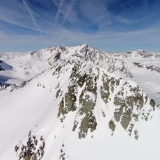
The road is passable year-round but requires winter tires and sometimes snow chains during colder months. Visitors should prepare for changing conditions and drive carefully through the steeper sections.
At the summit sits a small lake called Lej da las Culuonnas, which marks the watershed dividing waters heading toward the Rhine and the Danube. This lake reveals how close Europe's major river systems converge at this high point.
The community of curious travelers
AroundUs brings together thousands of curated places, local tips, and hidden gems, enriched daily by 92,787 contributors worldwide.