
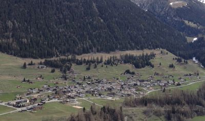
Liddes, municipality in the canton of Valais, Switzerland
Location: Entremont District
Elevation above the sea: 1,346 m
Website: https://liddes.ch
GPS coordinates: 45.98333,7.18333
Latest update: April 14, 2025 01:57

Pointe de Boveire
4.5 km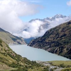
Lac des Toules
7.2 km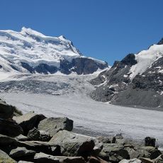
Corbassière Glacier
8.8 km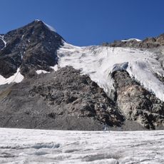
Combin de Corbassière
7.5 km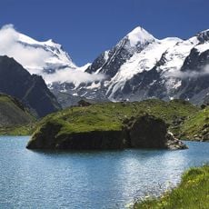
Petit Combin
6.5 km
Le Châtelet
6.7 km
Mont Rogneux
4.7 km
Mur (dit) d'Hannibal
3.9 km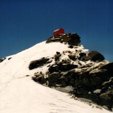
Bivouac Biagio Musso
9.7 km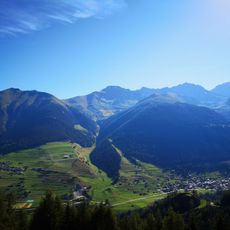
Mont Brûlé
4.1 km
Six Blanc
6 km
La Tsavre
8.6 km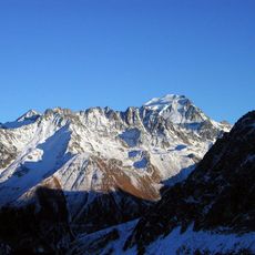
Le Ritord
6.1 km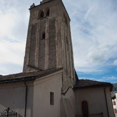
Saint-Pierre Church
4.3 km
Som la Proz
5.6 km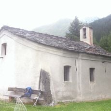
Notre-Dame de Lorette chapel
3.4 km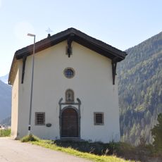
Saint-Étienne chapel
616 m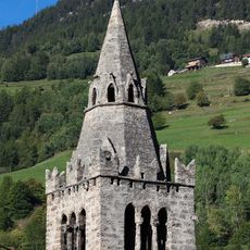
Saint Nicholas of Myra bell tower and church
6 km
Becca de Sery
8.2 km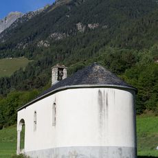
Saint-Eusèbe chapel
5.6 km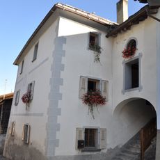
Bastian House
975 m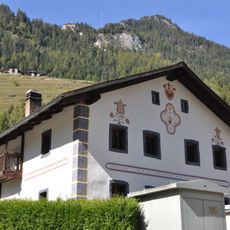
2 painted houses
5.6 km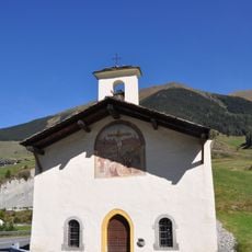
Saint-Laurent chapel
1.5 km
Mill on the stream of Valsorey
4.5 km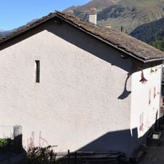
Old hospital
4.3 km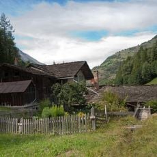
Les Moulins
2.6 km
Municipal archives Orsières
6 km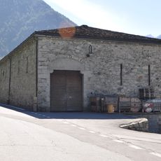
Souste
5.7 kmVisited this place? Tap the stars to rate it and share your experience / photos with the community! Try now! You can cancel it anytime.
Discover hidden gems everywhere you go!
From secret cafés to breathtaking viewpoints, skip the crowded tourist spots and find places that match your style. Our app makes it easy with voice search, smart filtering, route optimization, and insider tips from travelers worldwide. Download now for the complete mobile experience.

A unique approach to discovering new places❞
— Le Figaro
All the places worth exploring❞
— France Info
A tailor-made excursion in just a few clicks❞
— 20 Minutes