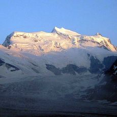
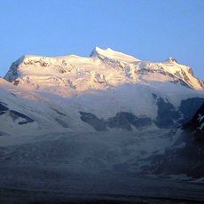
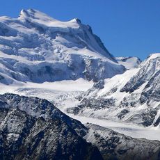
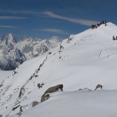
Pointe de Boveire, Alpine summit in Entremont District, Switzerland
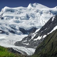
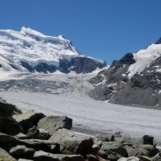
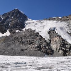
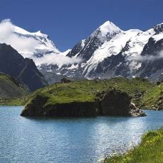
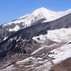
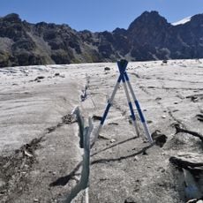
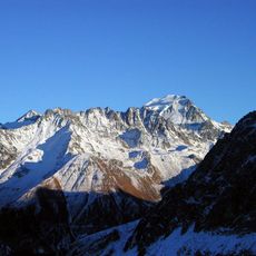
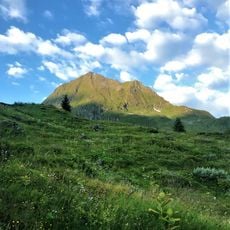
Pointe de Boveire is a mountain summit in the Entremont District marked by steep rock faces and layered stone formations. The slopes show clear signs of glacial activity and weathering over geological time.
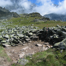
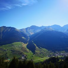
The mountain lies in the Grand Combin massif between the Val d'Entremont and the Val de Bagnes. On the saddle at 2,643 m between its western slope and the Pointe de Toules stands Mur d'Hannibal, a dry-stone wall structure dating from the 1st century BC. The pass south-east of the summit, today called Col de Lâne and marked Col de l'Ane on older maps, links the Cabane Brunet and the Alp Sery above Lourtier with Liddes.
The name Boveire comes from a Franco-Provençal word for "cow pasture", from Latin bovem with the suffix -ariu, and refers to the Alp Boveire on the steep southwestern slope. The alp lies on the upper course of the Torrent d'Allèves, which rises at the Glacier de Boveire below the Combin de Boveire ridge.
Several trails approach the mountain from different starting points, though all routes require climbing experience and proper gear. Weather conditions at this elevation shift rapidly, so checking forecasts beforehand is essential.
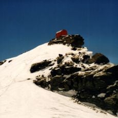
The summit's upper zone is one of four study sites of the W-Alps / Alps of Valais-Entremont region in the Global Observation Research Initiative in Alpine Environments. Botanists from the Flore-Alpe alpine garden in Champex-Lac and the University of Lausanne survey its nival vegetation to track the effects of global warming on alpine plants.
The community of curious travelers
AroundUs brings together thousands of curated places, local tips, and hidden gems, enriched daily by 94,152 contributors worldwide.