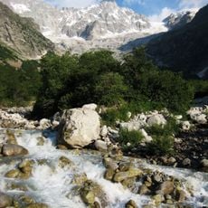
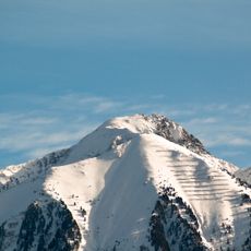
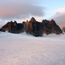
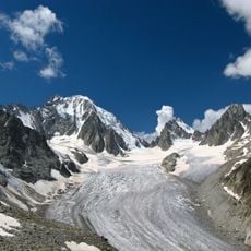
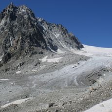
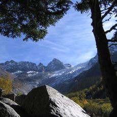
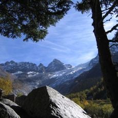
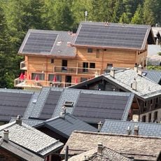
Le Châtelet, Alpine summit in Valais, Switzerland
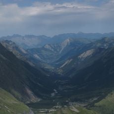
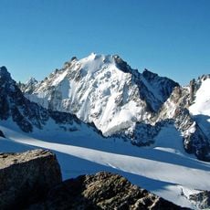
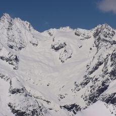
Le Châtelet is a mountain in the Valais Alps that rises between the Orny and Saleina valleys, overlooking the municipality of Orsières. The summit sits within the Mont Blanc massif and provides views across several valleys of the region.
Le Châtelet appears on Swiss topographic maps as a 2,537 m summit of the Mont Blanc massif in Valais, above Orsières. Its position between the Orny and Saleina valleys made it a fixed survey point for mapping the two valleys, and the peak is listed on Hikr, the hiking route database, as a reference for the area.
The name Le Châtelet, "the little castle", refers to the peak's castle-like rock form above Orsières. The mountain stands between the Orny and Saleina valleys, and its summit is listed on Hikr, a hiking route database where climbers record ascents and share route reports.
The climb requires solid mountain hiking experience and good physical preparation for the steep ascent. The best time to hike is during the warmer months when the routes are snow-free and visibility remains clear.
Le Châtelet reaches 2,537 m, a figure that places it above the Orny and Saleina valleys it separates. Its summit is listed on Hikr, the hiking route database where climbers log ascents of Swiss peaks. The mountain appears in both French and Georgian reference works under the name Le Châtelet.
The community of curious travelers
AroundUs brings together thousands of curated places, local tips, and hidden gems, enriched daily by 94,622 contributors worldwide.