
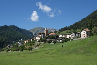
Ramosch, former municipality of Switzerland
Location: Grisons
Location: Valsot
Location: Ramosch
Elevation above the sea: 1,236 m
Shares border with: Ftan, Samnaun, Sent, Graun im Vinschgau
Website: http://ramosch.ch
GPS coordinates: 46.83306,10.38333
Latest update: March 2, 2025 23:11
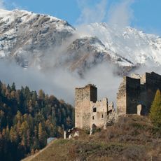
Tschanüff Castle
592 m
Muttler
7.5 km
Piz Lad
6.7 km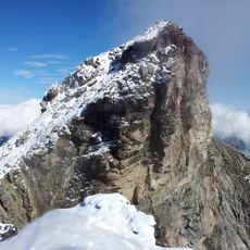
Piz Lischana
7.6 km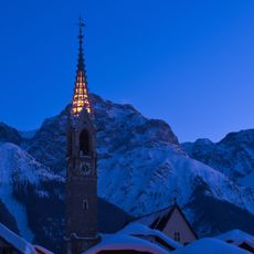
Reformierte Kirche Sent
4 km
Reformed Church, Ramosch
149 m
Piz Ajüz
5.9 km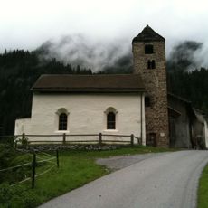
Church San Niclà (Strada)
4.3 km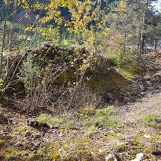
Burgruine Serviezel
2.1 km
Serviezel Castle
7.7 km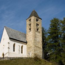
Church San Plasch
5.5 km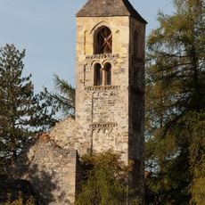
San Peder
4.3 km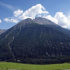
Piz S-chalembert Dadaint
4.3 km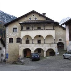
La Clostra, Scuol
7.6 km
Museum Stamparia da Strada
5 km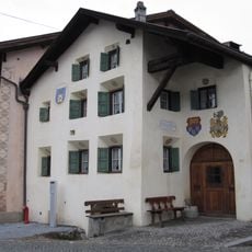
Chasa Baer-Gaudenz
7.6 km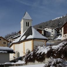
Reformierte Kirche Vnà
1.9 km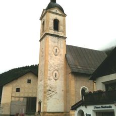
Reformierte Kirche Strada im Engadin
5.1 km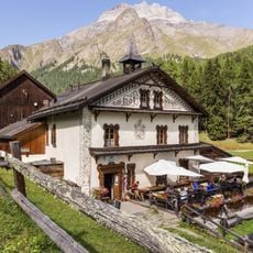
Hof Zuort
5.9 km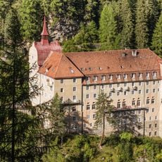
Kurhaus Val Sinestra
4.1 km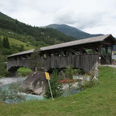
Punt sur il En, Sent
2.1 km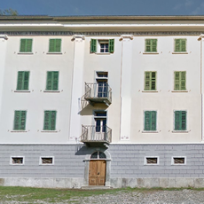
Palazzo Corradini
3.9 km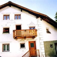
Chasa Tonas
3.8 km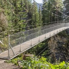
Punts penduossas Sinestra – Zuort
5.4 km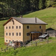
Uina Dadaint Alm
6.4 km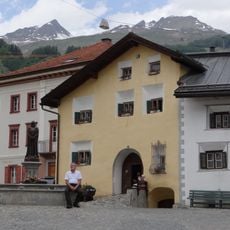
Chasa Wieland
7.6 km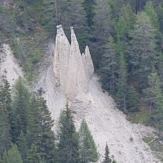
Earth pyramids of Prà San Peder
5.7 km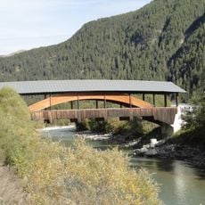
Punt da Sclamischot
6.3 kmVisited this place? Tap the stars to rate it and share your experience / photos with the community! Try now! You can cancel it anytime.
Discover hidden gems everywhere you go!
From secret cafés to breathtaking viewpoints, skip the crowded tourist spots and find places that match your style. Our app makes it easy with voice search, smart filtering, route optimization, and insider tips from travelers worldwide. Download now for the complete mobile experience.

A unique approach to discovering new places❞
— Le Figaro
All the places worth exploring❞
— France Info
A tailor-made excursion in just a few clicks❞
— 20 Minutes