
Lantsch/Lenz, municipality in the canton of the Grisons in Switzerland
Location: Albula Region
Location: Grisons
Elevation above the sea: 1,328 m
Shares border with: Alvaschein, Arosa, Alvaneu, Vaz/Obervaz, Brienz/Brinzauls
Website: http://lantsch-lenz.ch
GPS coordinates: 46.68306,9.56639
Latest update: March 2, 2025 23:29

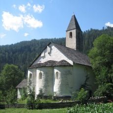
St. Peter, Mistail
1.9 km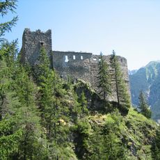
Belfort castle ruin
3.6 km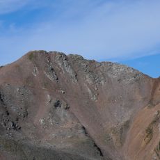
Parpaner Rothorn
7.1 km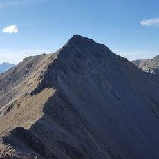
Lenzer Horn
3.6 km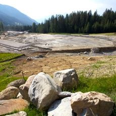
Biathlon Arena Lenzerheide
1.2 km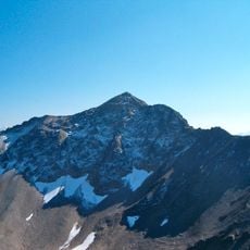
Aroser Rothorn
7.1 km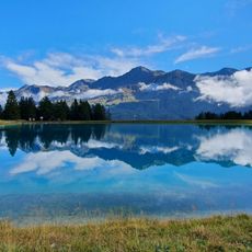
Speichersee Valos
5.4 km
Burg Nivagl
2.7 km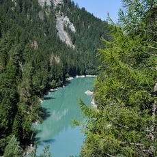
Stausee Solis
2 km
Lenzerheide
5 km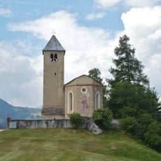
St. Maria, Lantsch/Lenz
598 m
Piz Linard
3 km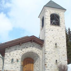
Evangelische Kirche Lenzerheide
5 km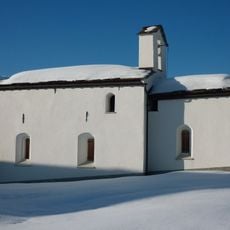
St. Cassian, Lantsch/Lenz
1.5 km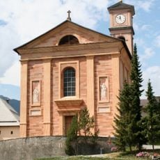
Antoniuskirche Lantsch/Lenz
295 m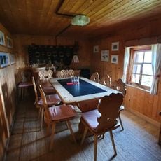
Fops
5 km
Golfclub Lenzerheide
3 km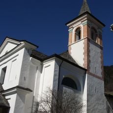
Baselgia catolic Son Gion Battista, Muldain
3.3 km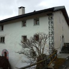
Kessler House
3.4 km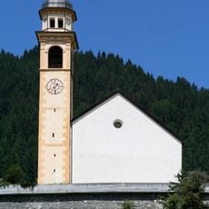
St. Donatus
2.8 km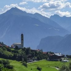
Katholische Kirche Heiliger Calixt
2.7 km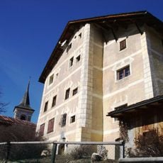
Junkerhaus, Muldain
3.2 km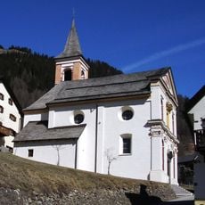
Baselgia catolica Son Leza, Lain
3.2 km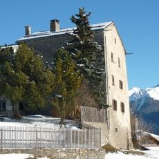
Tgesa La Tor, Lantsch/Lenz
360 m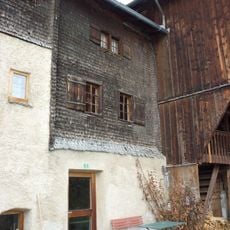
Tgea Veuta, Lain
3.2 km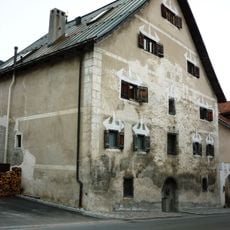
Tgesa Amilcar, Lantsch/Lenz
195 m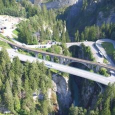
Solis road bridge
2.8 km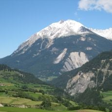
Hill group Bot da Loz, iron age
585 mVisited this place? Tap the stars to rate it and share your experience / photos with the community! Try now! You can cancel it anytime.
Discover hidden gems everywhere you go!
From secret cafés to breathtaking viewpoints, skip the crowded tourist spots and find places that match your style. Our app makes it easy with voice search, smart filtering, route optimization, and insider tips from travelers worldwide. Download now for the complete mobile experience.

A unique approach to discovering new places❞
— Le Figaro
All the places worth exploring❞
— France Info
A tailor-made excursion in just a few clicks❞
— 20 Minutes