
Tartegnin, municipality in Switzerland
Location: canton Vaud
Location: Nyon District
Elevation above the sea: 492 m
Website: http://www.tartegnin.ch
Website: http://tartegnin.ch
GPS coordinates: 46.46680,6.31570
Latest update: March 10, 2025 21:48
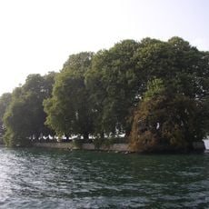
Île de la Harpe
2.2 km
Zoo La Garenne
5.7 km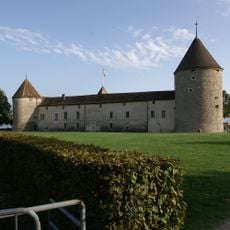
Rolle Castle
2.2 km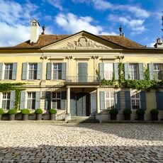
Vincy Castle
1.2 km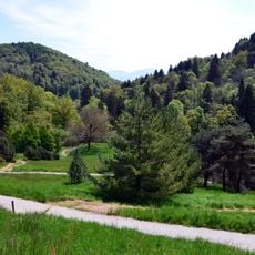
Arboretum du Vallon de l'Aubonne
6.3 km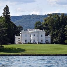
Villa Choisy with boathouse, island, old farm and fountain
3 km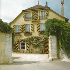
Belletruche
1.4 km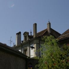
Castle with outbuildings
4.5 km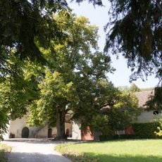
Château with vineyard outbuildings
4.2 km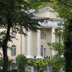
La Gordanne with outbuildings
4.7 km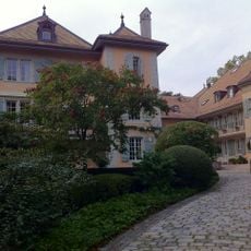
Manoir de Bougy
5.8 km
Beaulieu country estate
2.1 km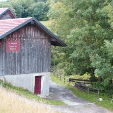
Scierie et ancien moulin de Saint-George
6.1 km
Historical collection of the municipal library of Rolle
2.2 km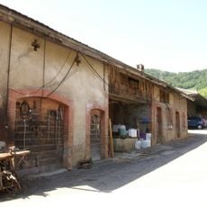
Vinzel tile factory with Hoffmann kiln
3.2 km
Musée du bois d'Aubonne
6.3 km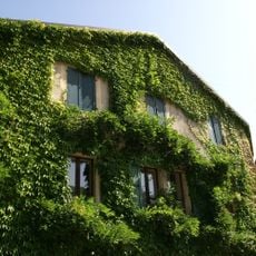
Farmhouse no. ECA 148
1.7 km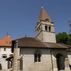
Reformed church of Saint-Martin, parish church and fortified house (site of the former priory)
2.5 km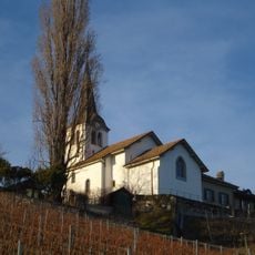
Saint-Sulpice reformed church
4.5 km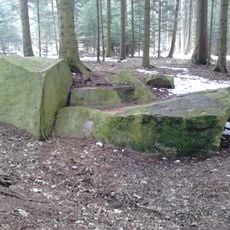
Grandes-Tattes forest, cup marked stones
3.2 km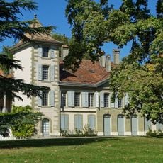
Castle and fountain
3 km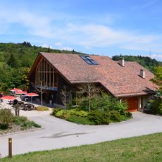
Arboretum national du vallon de l'Aubonne
6.3 km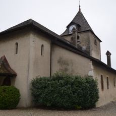
Eglise réformée de Begnins
5.7 km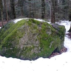
Grandes-Tattes forest, cup marked stones
3.1 km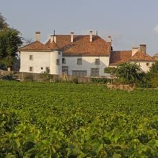
Château du Rosey avec maison de maître, maison forte, jardin et verger
2.5 km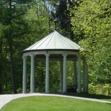
Signal de Bougy pavilion
3.7 km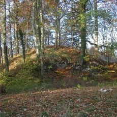
Ruins of the medieval castle of Mont-le-Vieux
947 m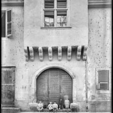
Ancienne maison d'Allinges
2 kmReviews
Visited this place? Tap the stars to rate it and share your experience / photos with the community! Try now! You can cancel it anytime.
Discover hidden gems everywhere you go!
From secret cafés to breathtaking viewpoints, skip the crowded tourist spots and find places that match your style. Our app makes it easy with voice search, smart filtering, route optimization, and insider tips from travelers worldwide. Download now for the complete mobile experience.

A unique approach to discovering new places❞
— Le Figaro
All the places worth exploring❞
— France Info
A tailor-made excursion in just a few clicks❞
— 20 Minutes