High Rhine, River section between Lake Constance and Basel, Switzerland.
The High Rhine flows westward for about 165 kilometers from Lake Constance to Basel, marking the natural border between Germany and Switzerland along much of its course. The river is managed by dams and power stations that regulate its flow while generating electricity.
The term High Rhine was established in the 19th century to distinguish this river section from other parts of the Rhine system from a geological perspective. This classification reflected efforts to better understand the different characteristics of the river's entire course.
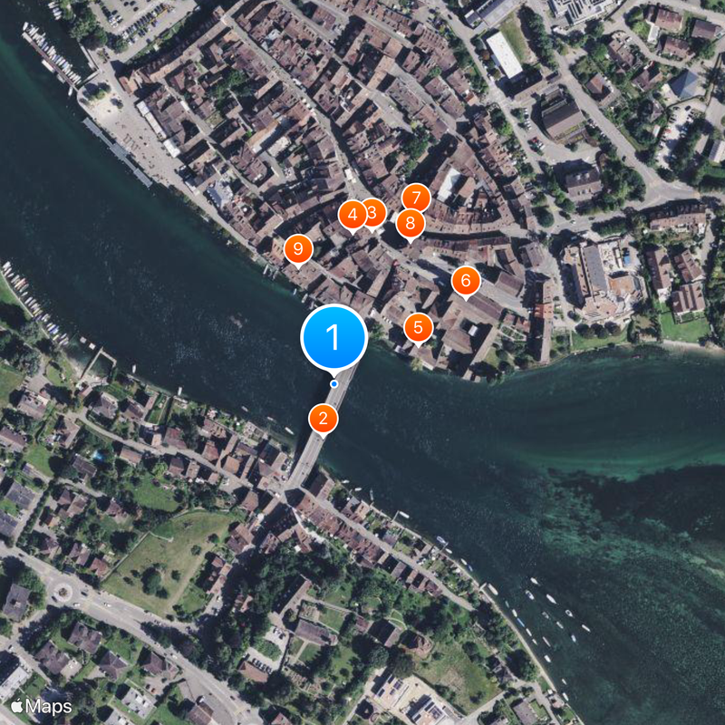
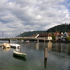
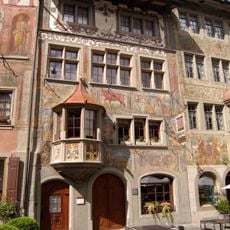
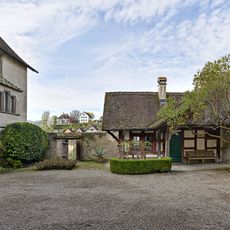
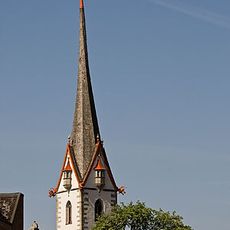
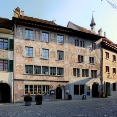
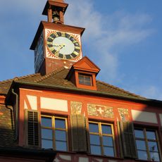
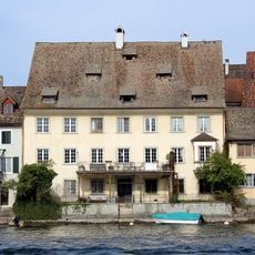
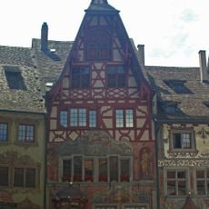
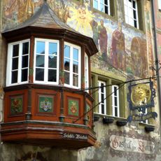
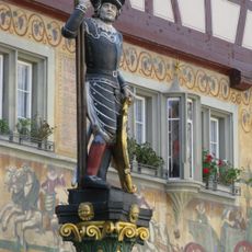
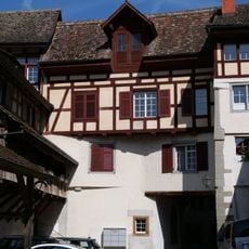
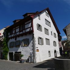
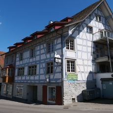
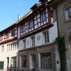
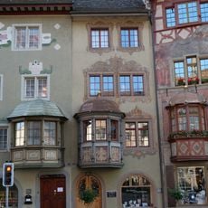
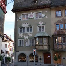
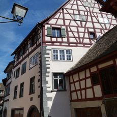
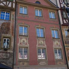
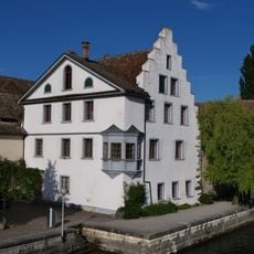
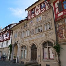
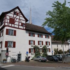
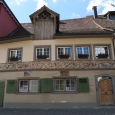
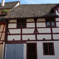
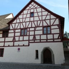
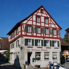
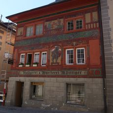
Towns such as Stein am Rhein and Schaffhausen grew along this section and still shape how the region looks and feels. These settlements reflect how the river served as a natural gathering point for commerce and connection between communities.
The river descends from 395 to 252 meters in elevation, and dams at several points affect access to certain banks and areas. Water flow can change depending on the water level and power station operations, so it is worth checking conditions before planning water-based activities.
Just before Basel, the Aare River joins and doubles the water volume to over 1000 cubic meters per second. This sudden increase in flow is striking to observe at the confluence.
The community of curious travelers
AroundUs brings together thousands of curated places, local tips, and hidden gems, enriched daily by 60,000 contributors worldwide.