
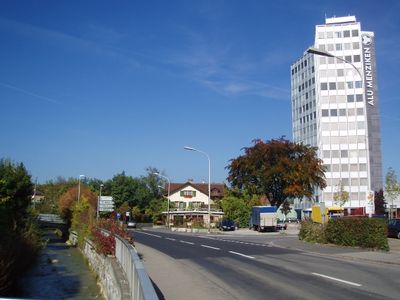
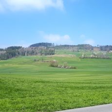
Menziken, municipality in Switzerland
Location: Aargau
Location: Kulm District
Elevation above the sea: 545 m
Part of: RPV aargauSüd impuls
Website: http://menziken.ch
GPS coordinates: 47.24000,8.19167
Latest update: March 13, 2025 04:44
Stierenberg
2.5 km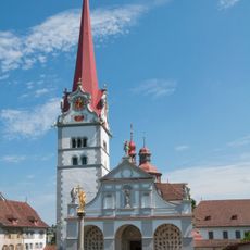
Chapter of Beromünster
3.8 km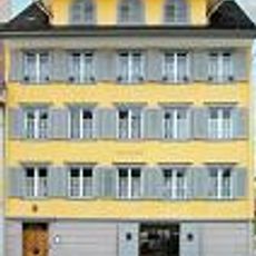
Haus zum Dolder
3.8 km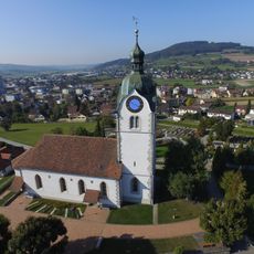
Evangelical-reformed parish church
1.8 km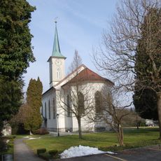
Evangelical reformed church
410 m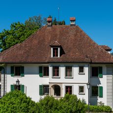
Villa (house "Zur Eintracht")
384 m
Katholische Kirche St. Stephan
3.7 km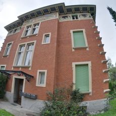
Villa Mathys
485 m
So-called forest cathedral of the Beromünster Abbey
4.2 km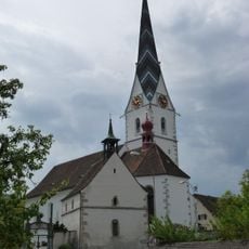
St. Mauritius catholic church with ossuary
1.5 km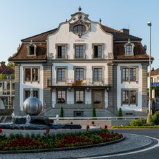
Gasthof zum Löwen
3 km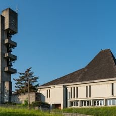
Roman catholic parish church
3 km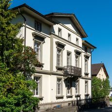
Villa Concordia
355 m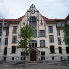
Central school building
1.7 km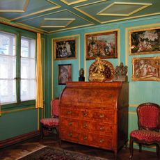
Dr. Edmund Müller collection
3.8 km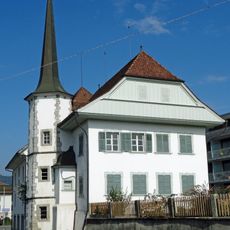
Schneggli residential building of the former mill
1.2 km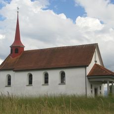
Mooskapelle
4 km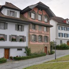
Chorherren- and Pfrundhäuser Group South
3.9 km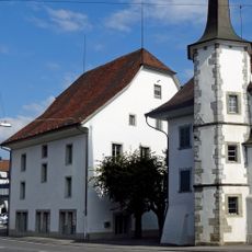
Former mill
1.3 km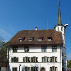
Schneggen, former Untervogtei
1.3 km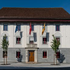
Parish hall, former granary
1.3 km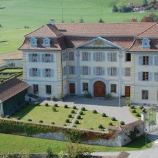
Propstei Beromünster
3.9 km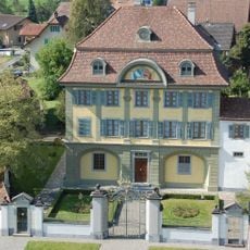
Kustorei
3.8 km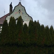
Residential building Spitalstrasse
879 m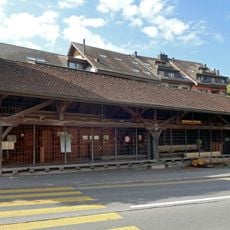
Old saw
335 m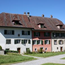
Chorherren- and Pfrundhäuser Group North
3.8 km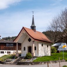
Mullwil Chapel
4 km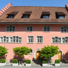
Former Amthaus (Hirschen Inn)
3.8 kmVisited this place? Tap the stars to rate it and share your experience / photos with the community! Try now! You can cancel it anytime.
Discover hidden gems everywhere you go!
From secret cafés to breathtaking viewpoints, skip the crowded tourist spots and find places that match your style. Our app makes it easy with voice search, smart filtering, route optimization, and insider tips from travelers worldwide. Download now for the complete mobile experience.

A unique approach to discovering new places❞
— Le Figaro
All the places worth exploring❞
— France Info
A tailor-made excursion in just a few clicks❞
— 20 Minutes