
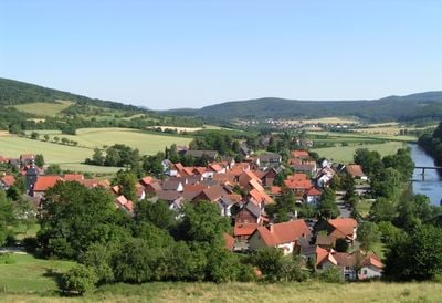
Oberrieden, municipality in the canton of Zurich, Switzerland
Location: Horgen District
Location: Zürich
Elevation above the sea: 460 m
Part of: Horgen District
Shares border with: Herrliberg, Horgen, Meilen, Thalwil
Website: http://oberrieden.ch
GPS coordinates: 47.27778,8.57806
Latest update: March 25, 2025 10:09
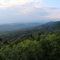
Sihlwald
1.9 km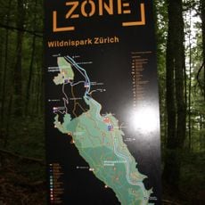
Zurich Wilderness Park
1.9 km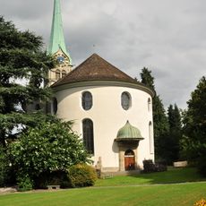
Reformierte Kirche Horgen
2.5 km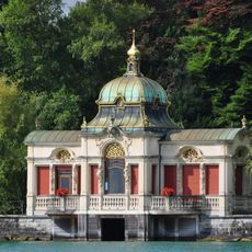
Seepavillon Herner
1.8 km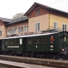
Zürcher Museums-Bahn
1.8 km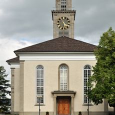
Reformed church
1.5 km
Kirche Josef Horgen
2.6 km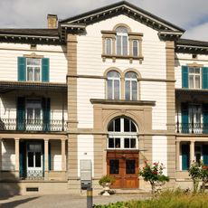
So-called Jenny Schloss with outbuilding
1.8 km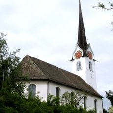
Reformierte Kirche Oberrieden
132 m
Heilig Chrüz Oberrieden
362 m
Sust local museum
2.5 km
Grundsteinweg
1.6 km
Living and Porcelain Museum (Agent House Horgen)
2.6 km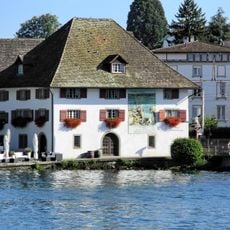
Former Sust
2.5 km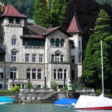
Villa Seerose
2.1 km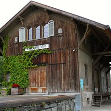
Railway station goods shed
242 m
Pfistergut, former Trotte an der Strass
1.8 km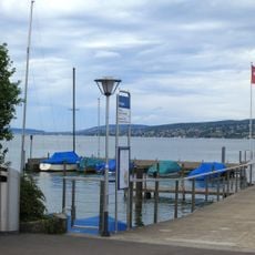
Neolithic lakeside settlement
2.1 km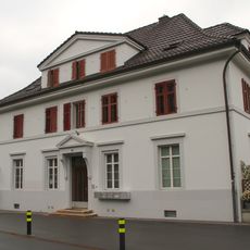
Oberrieden railway station main building
211 m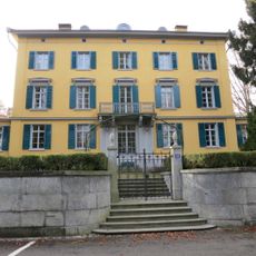
Villa Herner with outbuilding and garden hall
1.8 km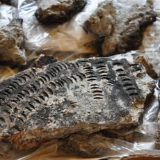
Scheller, neolithische Seeufersiedlung, Patenstation der Horgener-Kultur
1.2 km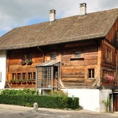
Binder dwelling house
871 m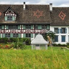
Pfistergut, wine farmhouse with trough and barn
1.7 km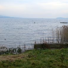
Seeufersiedlung
291 m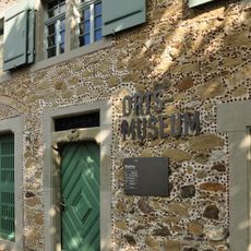
Thalwil local museum
1.7 km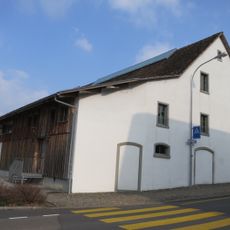
Pfistergut, barn
1.8 km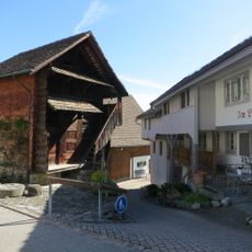
Dörfli, block barn at Länzweg
529 m
Seeufersiedlung
445 mVisited this place? Tap the stars to rate it and share your experience / photos with the community! Try now! You can cancel it anytime.
Discover hidden gems everywhere you go!
From secret cafés to breathtaking viewpoints, skip the crowded tourist spots and find places that match your style. Our app makes it easy with voice search, smart filtering, route optimization, and insider tips from travelers worldwide. Download now for the complete mobile experience.

A unique approach to discovering new places❞
— Le Figaro
All the places worth exploring❞
— France Info
A tailor-made excursion in just a few clicks❞
— 20 Minutes