
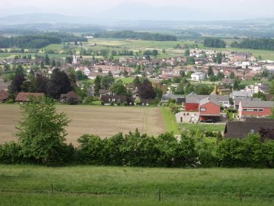
Mettmenstetten, municipality in Switzerland
Location: Affoltern District
Location: Zürich
Elevation above the sea: 468 m
Shares border with: Kappel am Albis, Obfelden, Knonau
Website: http://mettmenstetten.ch
GPS coordinates: 47.24472,8.46444
Latest update: March 5, 2025 07:22
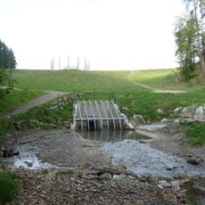
Hochwasserrückhaltebecken Jonenbach
3.3 km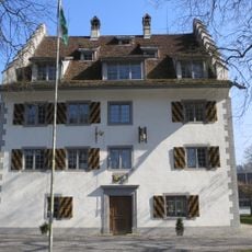
Château Knonau
2.4 km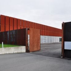
Sammlungszentrum des Schweizerischen Nationalmuseums
3.1 km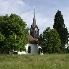
Reformed church (1667) with rectory
3.1 km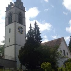
Church of Affoltern am Albis
3.8 km
Gemeindehaus Affoltern am Albis
3.8 km
Kirche Burkard Mettmenstetten
701 m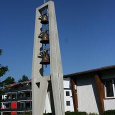
Antonius Obfelden
3.8 km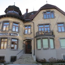
Druckereigebäude Weiss
3.7 km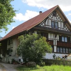
Butzenhaus
3.6 km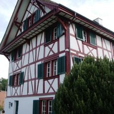
Pfarrhaus Aeugst am Albis
3.1 km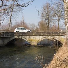
Maschwanderbrücke
3.8 km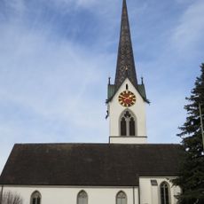
Reformed church
222 m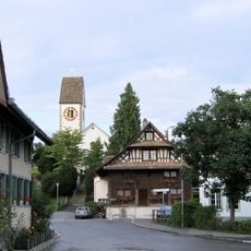
Reformed church
2.4 km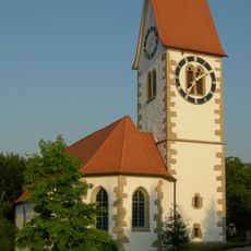
Reformed church
2.4 km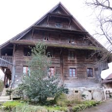
Baaregg, ehem. Hofgut (1512, um 1720) des Klosters Kappel
3.3 km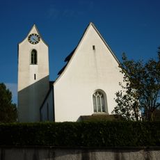
Reformierte Kirche
3.1 km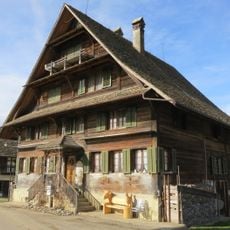
Grüt farmhouse with granary and former washhouse
2 km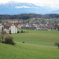
Römischer Gutshof
611 m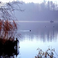
Seeufersiedlung
3.7 km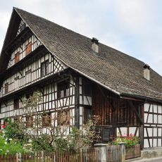
Baer house
2.4 km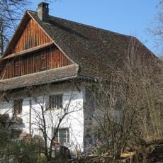
Ehemaliges Untervogthaus / Meyerhaus
2.3 km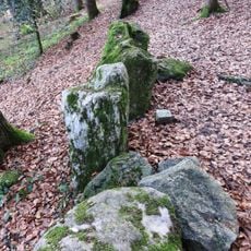
Modern pasture wall
1.8 km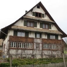
Rossau farm, residential house with annexes
2.5 km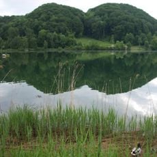
Neolithic lakeside settlement
4.1 km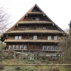
Jonenbachstrasse 42–44 farmhouse
2.3 km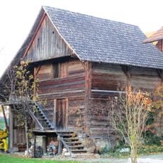
Suter granary
38 m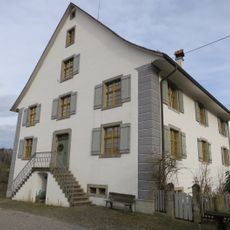
Buechstock residential house
1.9 kmVisited this place? Tap the stars to rate it and share your experience / photos with the community! Try now! You can cancel it anytime.
Discover hidden gems everywhere you go!
From secret cafés to breathtaking viewpoints, skip the crowded tourist spots and find places that match your style. Our app makes it easy with voice search, smart filtering, route optimization, and insider tips from travelers worldwide. Download now for the complete mobile experience.

A unique approach to discovering new places❞
— Le Figaro
All the places worth exploring❞
— France Info
A tailor-made excursion in just a few clicks❞
— 20 Minutes