Affoltern District, Administrative district in Knonaueramt region, Switzerland
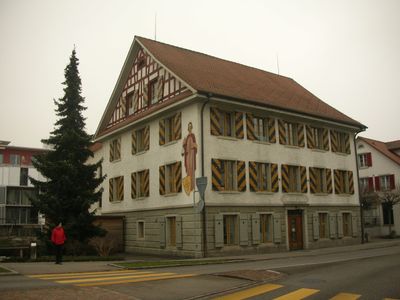
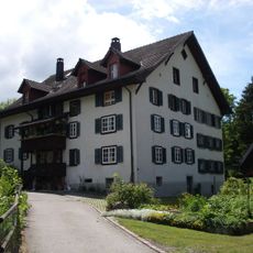
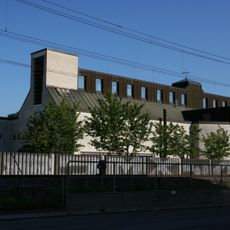
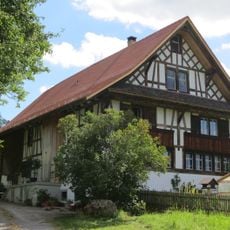
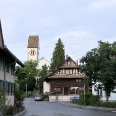
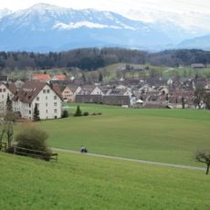
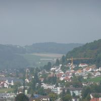
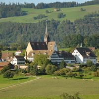
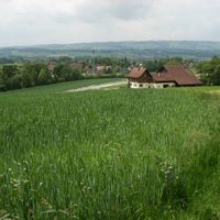
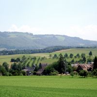
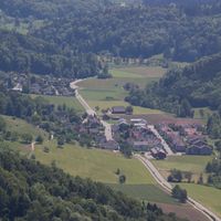
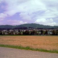
Affoltern District is an administrative region in the canton of Zürich, comprising fourteen municipalities that blend rural and residential areas. The landscape varies across rolling hills and flatter sections, with Affoltern am Albis serving as the administrative hub.
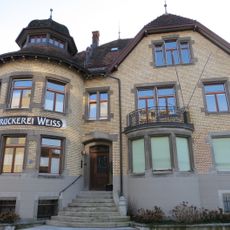
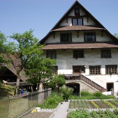
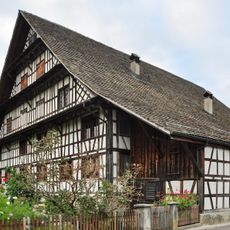
The area grew from agricultural lands and developed over time into a residential region with multiple communities. Its names—Knonaueramt and Säuliamt—come from earlier administrative structures that shaped the territory.
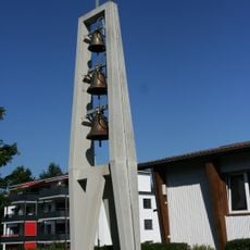
The municipalities maintain local traditions through festivals and community gatherings that shape social life here. These events give the district an identity that extends beyond its administrative role.
The region connects well to Zürich through the S-Bahn railway network, making access convenient for visitors and commuters. Each municipality has its own infrastructure, so orienting yourself around local transport hubs helps with planning.
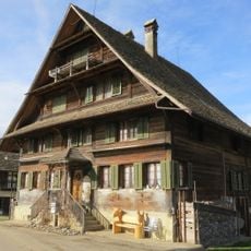
The district carries two traditional names from different historical periods, reflecting its complex regional identity. These dual designations show how local administrative boundaries have shifted throughout history.
The community of curious travelers
AroundUs brings together thousands of curated places, local tips, and hidden gems, enriched daily by 60,000 contributors worldwide.