Chest opened
+${chestReward.xp} XP
Explorer
NOUVEAU ×${chestReward.collectible.quantity}
tapez pour fermer
Chest locked

Open chests in the app

Around Us is built for your phone — chests unlock when you walk, explore and capture nearby places.

Enable Location

We need your location to show you interesting places around you

Discover nearby places

Find interesting locations and hidden gems around you

Precise directions

Get accurate directions and distances to places

Your location is never shared with other users. It's only used when you tap the location button.

Col de Pierre Pertuis

Log in to your account

Start exploring — it's free

Trusted by 73,001 travelers worldwide

Continue with Google
Continue with Apple
or

We will send you a code to connect

By continuing, you accept our Terms and Conditions and our Privacy Policy

Check your inbox

We've sent a pincode in your inbox. Please enter the code below.

Col de Pierre Pertuis
Discussion Reviews 1 Photos
2.1k Popularity

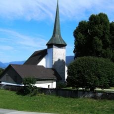
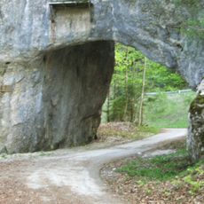
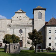
Col de Pierre Pertuis, Mountain pass and Roman road in Tavannes, Switzerland

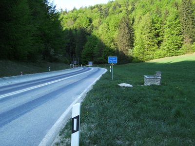
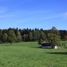
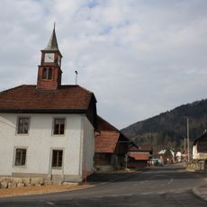
Col de Pierre Pertuis is a mountain pass at 827 meters (2,713 ft) connecting Sonceboz and Tavannes through the Jura Mountains, crossing important historical trade routes. The landscape features natural rock formations and multiple road grades reflecting different eras of transportation infrastructure.

A Roman inscription from the 3rd century documents the construction of a road linking Aventicum with Augusta Raurica. The pass was later modernized during World War I when Swiss Army engineers built the first automobile road through it.

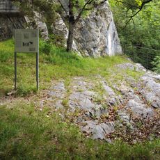
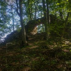
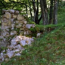
The name comes from the Latin phrase Petra Pertusa, referring to the natural rock opening visible at this mountain crossing. Visitors can still see the original rock formation that gave the pass its distinctive character.

The pass is accessible through multiple road routes: the older mountain road renovated in 1932 and the modern highway with its tunnel. Depending on your chosen route and season, allow varied travel times and prepare for different weather conditions at elevation.

A 2,100-meter (6,890 ft) tunnel for the A-16 highway opened in 1997, significantly shortening travel times. This underground passage transformed the role of the historic surface routes, creating different experiences for different travelers.

The community of curious travelers

AroundUs brings together thousands of curated places, local tips, and hidden gems, enriched daily by 60,000 contributors worldwide.

Start exploring
Location
Elevation above the sea
827 m
GPS coordinates
47.21010,7.19417
Latest update
December 13, 2025 17:00
Reviews
Share your experience

No review yet

Discussions
Start a discussion...

No discussion yet

« Col de Pierre Pertuis - Mountain pass and Roman road in Tavannes, Switzerland » is provided by Around Us (aroundus.com). Images and texts are derived from Wikimedia project under a Creative Commons license. You are allowed to copy, distribute, and modify copies of this page, under the conditions set by the license, as long as this note is clearly visible.

Discover hidden gems everywhere you go!

From secret cafés to breathtaking viewpoints, skip the crowded tourist spots and find places that match your style. Our app makes it easy with voice search, smart filtering, route optimization, and insider tips from travelers worldwide. Download now for the complete mobile experience.

Around Us App Screenshot

A unique approach to discovering new places

Le Figaro

All the places worth exploring

France Info

A tailor-made excursion in just a few clicks

20 Minutes

Around Us
Travel Guide & Maps
Download

Send to your phone

QR Code
1

Open the camera app on your mobile.

2

Point at the QR code with your camera. A notification will appear.

3

Tap the notification to open the link.