Dent de Ruth, Mountain summit in the Bernese Alps, Switzerland
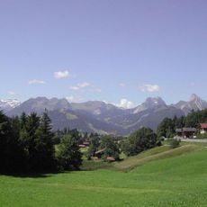
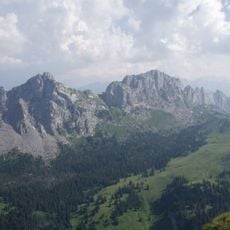
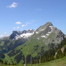
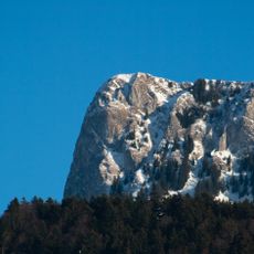
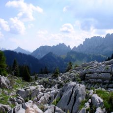
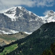
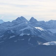
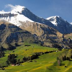
Dent de Ruth is a limestone summit of the Fribourg Prealps reaching 2,236 metres, at the tripoint of the cantons of Bern, Fribourg and Vaud. It rises between the Jogne valley and the Sarine valley, south of Jaun.
The mountain became a boundary marker when Switzerland's cantonal borders were formally established in the 19th century. Its location at the meeting point of three cantons made it a natural reference for administrative divisions.
The name comes from Old French rout, meaning cleared or broken land, later reinterpreted through the female given name Ruth; in 1906 Ruth or Ruty still designated an alp near Bern before the name was transferred to the peak. Access routes start from the Alp de Ruth at 1,650 m in the Fenils valley or from the Grueteberg hut of the Swiss Alpine Club.
You can reach the summit via several hiking routes that connect to the mountain shelter known as Grubenberghutte. Weather conditions can change quickly at this elevation, so proper gear and mountain experience are important for any visit.
The summit marks the tripoint of the cantons of Bern, Fribourg and Vaud, a border junction a walker can stand on. Its name comes from old French rout, meaning cleared or broken land, later re-motivated by the female first name Ruth. In 1906 Ruth or Ruty still named an alp near Bern before the name was transferred to the peak.
The community of curious travelers
AroundUs brings together thousands of curated places, local tips, and hidden gems, enriched daily by 93,640 contributors worldwide.