Rapperswil, former municipality of Switzerland in St. Gallen
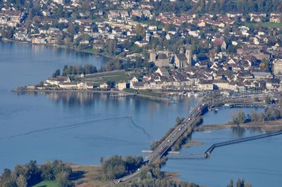
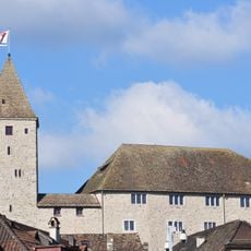
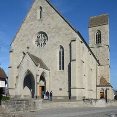
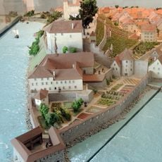
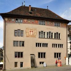
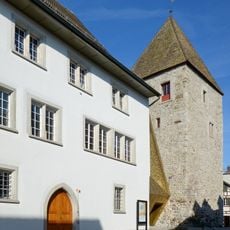
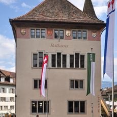
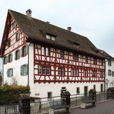
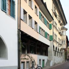
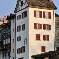
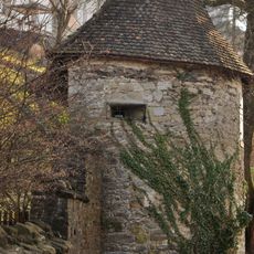
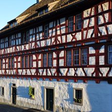
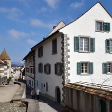
Rapperswil is a Swiss townscape protected by federal law, situated within the municipality of Rapperswil-Jona, with a medieval old town of cobbled lanes and historic stone buildings. The old town runs from a hilltop castle down to the shore of Lake Zurich.
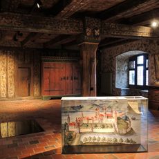
In the Middle Ages, the noble Rapperswil family built a castle here and founded the settlement on Lake Zurich. After the family died out, the town passed through several rulers before eventually becoming part of the canton of St. Gallen.
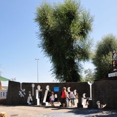
The name Rapperswil comes from the noble family that built a castle here in medieval times. Today, visitors walk through the old town, browse small shops, and sit at cafés along the lakefront promenade.
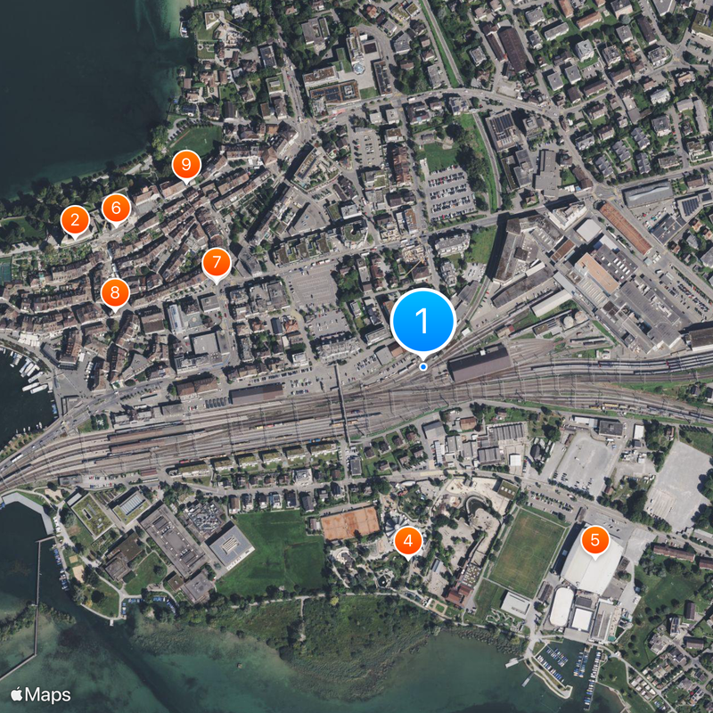
The old town is easy to explore on foot, as the lanes are short and the layout is straightforward. The train station sits right at the edge of the old town, making arrival by rail very convenient.
Rapperswil sits on a peninsula that juts into Lake Zurich, so from the center of the old town you can see water on three sides. A wooden footbridge has crossed the lake here since medieval times, linking the town to the opposite shore.
The community of curious travelers
AroundUs brings together thousands of curated places, local tips, and hidden gems, enriched daily by 60,000 contributors worldwide.