Lac de la Gruyère, Artificial reservoir in Canton of Fribourg, Switzerland.
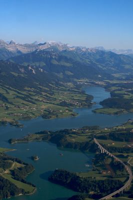
Lac de la Gruyère is an artificial reservoir nestled between Bulle and Fribourg in Canton Fribourg. The water body was created by damming the Sarine River and provides a significant expanse of water across the regional landscape.
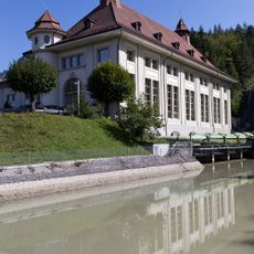
The Rossens Dam was constructed in the mid-20th century to hold back the Sarine River and create this water storage system. The dam's construction marked a major turning point in how the landscape was used and developed in this area.
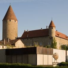
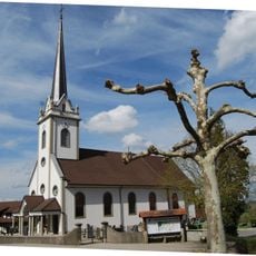
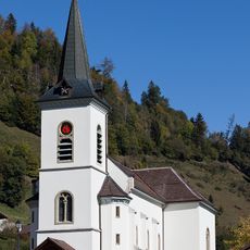
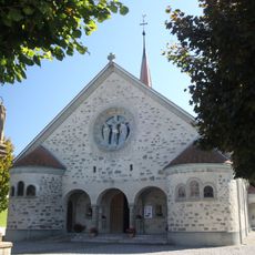
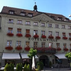
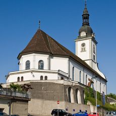
The lake takes its name from the surrounding region, where cheesemaking traditions have deep roots in the community. This heritage shapes how local people relate to the landscape and its resources today.
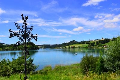
The water is accessible year-round for a range of activities like swimming, sailing, and fishing during warmer seasons. In winter, the frozen surface allows for ice skating, making the lake a versatile destination for outdoor recreation.
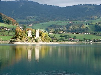
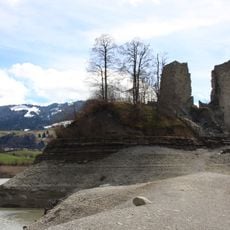
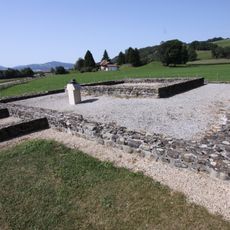
A medieval castle and chapel stand in ruins on an island within the water, having survived the dam's creation decades ago. These remnants rise above the surface as ghostly reminders of settlements that once thrived in this valley.
Location: Canton of Fribourg
Elevation above the sea: 677 m
Address: Lake of Gruyère, Switzerland
GPS coordinates: 46.65000,7.10000
Latest update: December 8, 2025 19:57
Castle of the bishops of Lausanne, then baillivale residence and prefecture
4.8 km
Le Gruyérien
4.9 km
Le Gibloux
5.9 km
Gibloux Radio Tower
5.9 km
Corbières Castle
1.2 km
Vers-les-Tours, medieval castle and town ruins of Pont-en-Ogoz
5.4 km
Baillival Castle
1.9 km
Le Brand
5.9 km
St. Ignace, Marsens
2.8 km
Saint-Sulpice parish church
2.3 km
Sainte-Trinité chapel
4.8 km
Saint-Garin chapel
2.2 km
Notre-Dame de Compassion
4.8 km
Saint-Jean-l'Evangéliste parish church
7.4 km
Eglise Saints-Jean-et-Paul, Cerniat
4.7 km
Groupe E Electrobroc, Centre d'information sur l'énergie
4.5 km
Notre-Dame-de-l'Assomption parish church
1.9 km
Hôtel de ville de Bulle
4.9 km
Roman villa, L'Etrey
2.8 km
Notre-Dame-de-l'Assomption parish church
5.7 km
Farmhouse of Antoine Repond
833 m
Saint-Pierre-aux-Liens parish church
4.6 km
Schorderet farmhouse
2.3 km
Farmhouse
7 km
Ancien Institut Sainte-Croix
4.7 km
Farmhouse
3.3 km
Ferme, Route De La Tour 35, Pont-en-Ogoz
4.6 km
Philiponna farmhouse
2.3 kmVisited this place? Tap the stars to rate it and share your experience / photos with the community! Try now! You can cancel it anytime.
Discover hidden gems everywhere you go!
From secret cafés to breathtaking viewpoints, skip the crowded tourist spots and find places that match your style. Our app makes it easy with voice search, smart filtering, route optimization, and insider tips from travelers worldwide. Download now for the complete mobile experience.
A unique approach to discovering new places❞
— Le Figaro
All the places worth exploring❞
— France Info
A tailor-made excursion in just a few clicks❞
— 20 Minutes