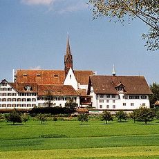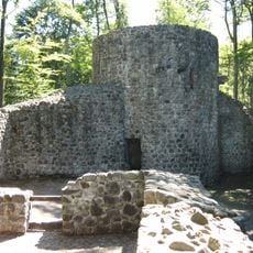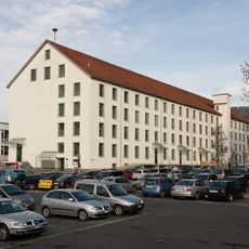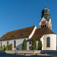
Baarburg, Archaeological hill in Baar, Switzerland.
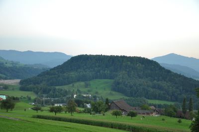
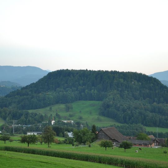
Baarburg is a densely wooded, free-standing hill in the municipality of Baar, east of the main village in the canton of Zug. Its summit plateau covers about 13 hectares at 683 metres above sea level. Excavations in 1994–1999 found traces of seven settlements, from the Middle Bronze Age (from 1550 BC) to the early Middle Ages (around AD 700).
The name Baarburg appears in a document in 1348 as "Barreburg", derived from the Celtic word barros, meaning peak or hill. Excavations between 1994 and 1999 revealed traces of seven settlements on the plateau, from the Middle Bronze Age (from 1550 BC) to the early Middle Ages (around 700 AD). Finds include pottery shards, organic remains, fire traces and tools.
The name Baarburg was first recorded in 1348 as "Barreburg" and derives from the Celtic word barros, meaning peak, height or mountain. The hill also appears in Baar's municipal coat of arms. The wooded summit plateau covers about 13 hectares at 683 metres above sea level.
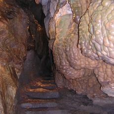
The wooded hill is reached on foot; the Lorze river and the Höllgrotten lie beside it, and the Neuheimerstrasse passes behind the hill. Sturdy footwear helps on the forest paths, and the weather on the 683-metre plateau can change quickly.
The name Baarburg was first recorded in 1348 as "Barreburg", derived from the Celtic word barros, meaning peak or height. Baar's municipal coat of arms depicts the Baarburg, so the hill appears on the town's heraldry.
The community of curious travelers
AroundUs brings together thousands of curated places, local tips, and hidden gems, enriched daily by 93,051 contributors worldwide.