Museggmauer, Medieval rampart in Lucerne, Switzerland.
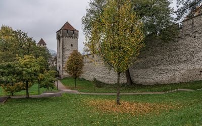
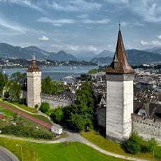
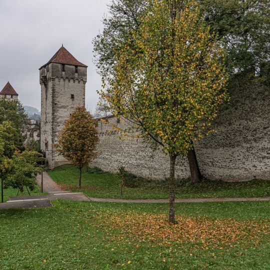
Museggmauer is a stone rampart running 870 metres from the Reuss west of Lucerne's old town, over the Musegg hill, to the Kantonsschule in the east. It is about 1.5 metres thick and roughly 9 metres high, with an open wall-walk behind a crenellated crown above an irregular arched frieze. Nine towers stand in front of the wall, most originally open towards the city; the Luegisland tower, at 52.6 metres the tallest, still is.
Dendrochronological studies of the Luegisland tower show that work on the Museggmauer began by about 1370, and building continued with interruptions well into the 15th century: the Schirmerturm around 1420, the Zytturm in 1442. A 1408 entry in the Lucerne citizens' book is an interim account, not the completion date, and a link with the Battle of Sempach of 1386 is rejected. Most of Lucerne's other fortifications were demolished between 1833 and 1856; the wall survived because its position on the Bramberg did not obstruct traffic.
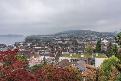
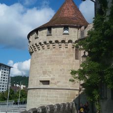
The four accessible towers reflect different purposes and designs shaped by the city's medieval needs. Locals and visitors use the pathways atop the structure for walks that offer views of the city and surrounding mountains.
Access to walkable sections is typically available from April through November, with different towers opening different parts of the path. The terrain requires sure footing, as the pathways atop the wall are narrow and feature some steep transitions between towers.
The Zyt Tower, one of the four accessible towers, houses a clock mechanism from 1535 that still functions today. This clock strikes the hour one minute before all other timepieces in the city, a practice maintained for centuries.
The community of curious travelers
AroundUs brings together thousands of curated places, local tips, and hidden gems, enriched daily by 92,790 contributors worldwide.