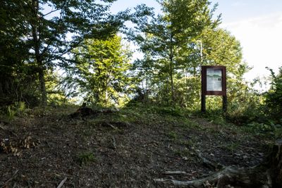
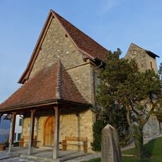
Fenis / Hasenburg, early medieval-medieval castle ruin, Medieval castle ruin in Ins, Switzerland.
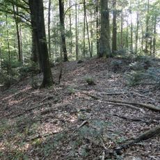
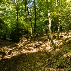
Fenis is a castle ruin spread across 350 meters on a steep spur, featuring stone walls, residential terraces, and deep defensive ditches between streams. The complex shows a complete medieval settlement layout with multiple structures arranged across the sloping terrain.
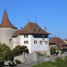
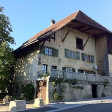
The castle was built in the 12th century by the Lords of Fenis and served as their main residence in the Bern region. It remained an important center of their power until it was eventually abandoned.
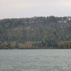
The elevated position above the water made this a symbolic seat of power overlooking the region. Visitors can sense how the location allowed those who lived here to control movement and commerce below.
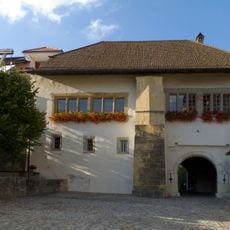
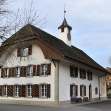
A hiking trail begins at Albert-Anker-Haus and leads to the ruins, with options to continue toward the Iron Age burial mounds and the UNESCO site of Luescherz. The route follows the terrain closely, so good footwear and reasonable fitness help you enjoy the walk.
These ruins rank among Switzerland's largest castle remains and have revealed much to archaeologists about medieval building methods in challenging terrain. The position between two streams was exceptionally well-protected by the standards of its time.
The community of curious travelers
AroundUs brings together thousands of curated places, local tips, and hidden gems, enriched daily by 60,000 contributors worldwide.