Enable Location

We need your location to show you interesting places around you

Discover nearby places

Find interesting locations and hidden gems around you

Precise directions

Get accurate directions and distances to places

Your location is never shared with other users. It's only used when you tap the location button.

Wiggis

Log in to your account

Start exploring — it's free

Trusted by 61,557 travelers worldwide

Continue with Google
Continue with Apple
or

We will send you a code to connect

By continuing, you accept our Terms and Conditions and our Privacy Policy

Check your inbox

We've sent a pincode in your inbox. Please enter the code below.

Wiggis

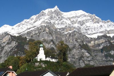
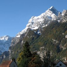
Wiggis, Mountain summit in Glarus, Switzerland

Description

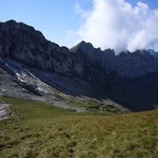
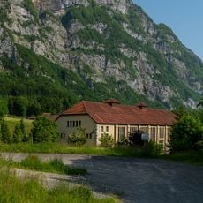
Wiggis is a mountain peak in Glarus canton that rises to 2,282 meters and is marked by steep rock walls on its eastern side. The opposite side features a gentler slope descending toward Alp Aueren, making the northern approach considerably easier to navigate.

History

The peak was the site of fighting in 1799 between French troops and Russian forces under General Suvorow during military operations in the region. The conflict resulted in casualties from both direct combat and accidents on the steep terrain.

Culture

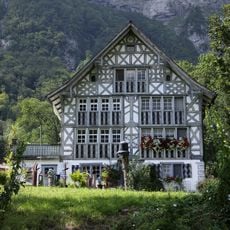
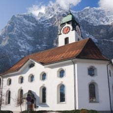
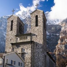
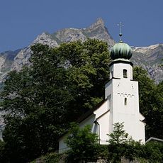
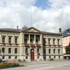
The mountain is deeply connected to how local people see themselves and their region, appearing regularly in views and photographs that define Glarus. It shapes the visual identity of the valley and serves as a recognizable landmark for those who live here.

Practical

Hiking routes to the summit begin in the valley and ascend through forested areas toward Alp Aueren, with marked paths guiding the final sections. Visitors should be prepared for changeable weather and steep passages, especially on the eastern side of the mountain.

Did you know?

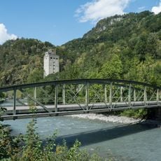
The summit marks the boundary between the municipalities of Glarus Nord and Glarus and historically separated the villages of Näfels and Netstal. This role as a dividing line continues to shape how locals perceive the mountain today.

Location
Location
Elevation above the sea
2,282 m
GPS coordinates
47.06538,9.02560
Latest update
December 14, 2025 18:09

AroundUs brings together thousands of curated places, local tips, and hidden gems, enriched daily by 60,000 contributors worldwide. Discover all places nearby (Glarus).

« Wiggis - Mountain summit in Glarus, Switzerland » is provided by Around Us (aroundus.com). Images and texts are derived from Wikimedia project under a Creative Commons license. You are allowed to copy, distribute, and modify copies of this page, under the conditions set by the license, as long as this note is clearly visible.

Discover hidden gems everywhere you go!

From secret cafés to breathtaking viewpoints, skip the crowded tourist spots and find places that match your style. Our app makes it easy with voice search, smart filtering, route optimization, and insider tips from travelers worldwide. Download now for the complete mobile experience.

Around Us App Screenshot

A unique approach to discovering new places

Le Figaro

All the places worth exploring

France Info

A tailor-made excursion in just a few clicks

20 Minutes

Around Us
Travel Guide & Maps
Download

Send to your phone

QR Code
1

Open the camera app on your mobile.

2

Point at the QR code with your camera. A notification will appear.

3

Tap the notification to open the link.